What is recorded here
No relevant facts were provided for that named request. The identity and evidence are missing, so a precise factual answer cannot be made.
In level pasture, with commanding view to N. Stone (H 1.25m; 0.87m x 0.42m) is lozenge-shaped in plan, long axis NW-SE.
The above description is derived from the published 'Archaeological Inventory of County Cork. Volume 3: Mid Cork' (Dublin: Stationery Office, 1997). In certain instances the entries have been revised and updated in the light of recent research.
Date of upload/revision: 14 January 2009
Dated to the Late Neolithic or Early Bronze Age, this standing stone may have functioned as a territorial marker or ceremonial monument. Its orientation and prominent position suggest it could have had astronomical or ritual significance, though specific folklore or use remains unrecorded.
The monument record does not grant public access. Check the route and ask the landowner before entering private land.
- What survives
- Recorded monument
Places near here
 Boulder-burial in RusselhillBoulder-burial · 177 yd
 Cashel FortHillfort · 894 yd
 Church (in Ruins)Church · 1094 yd
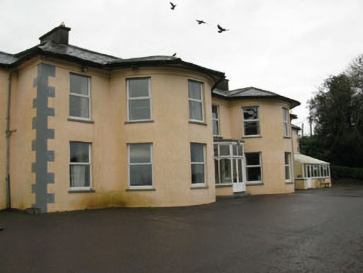 Upton Housecountry house · 1695 yd
 Graveyard in KilnagnadyGraveyard · 1.0 mi
 Sunday WellSpring · 1.2 mi
 Ballyhandle Castle (in Ruins)Castle, Anglo-Norman masonry castle · 1.6 mi
 Charlie Hurley MemorialMemorial · 2.4 mi
 Dromkeen WoodWood · 3.4 mi
 Dromkeen Wood Nature ReserveForest · 3.5 mi
 Carbury's WellSpring · 5.0 mi
 Shippool CastleCastle · 5.4 mi