What is recorded here
In mountain pasture, 15m N of a tributary of the Glashievhee stream, on the lower NE-facing slopes of Knockbrack Mountain. This standing stone (1.25m x 0.35m; H 0.95m) is rectangular in plan and triangular in section. It tapers to an uneven top and is orientated NNW-SSE. There is another standing stone (KE094-064001-) 25m to the SW.
The above description is derived from the published 'Archaeological Inventory of County Kerry. Volume I: South-West Kerry' (Dublin: Stationery Office, 2009). In certain instances the entries have been revised and updated in the light of recent research.
Date of upload: 30 May 2011
Likely dates to the Neolithic or Bronze Age, based on its form and context. Its purpose may have been ritual or territorial, though no inscriptions or associated monuments provide further clues.
The monument record does not grant public access. Check the route and ask the landowner before entering private land.
- What survives
- Recorded monument
Places near here
 SheepfoldEnclosure · 140 yd
 Sheep FoldEnclosure · 447 yd
 KnockbrackMountain / peak · 1141 yd
 OutlinedKiln, lime · 1.1 mi
 Battle of Callannbattle · 1.2 mi
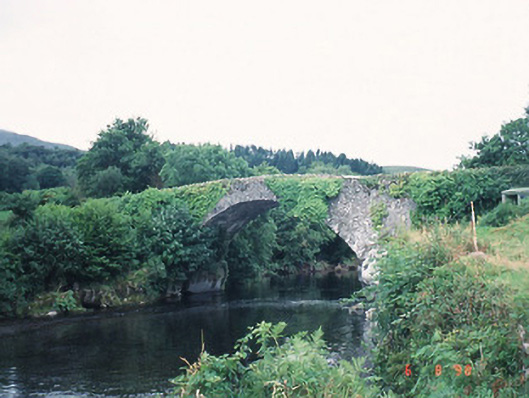 Ardtully Old Bridgebridge · 1.4 mi
 Castle (Site of)Castle, unclassified · 1.4 mi
 European YewEuropean Yew · 1.4 mi
 Kilgarvan Motor MuseumMuseum · 1.4 mi
 Knockbrack South TopMountain / peak · 1.4 mi
 Great Southern & Western RailwayMemorial · 1.9 mi
 Shanagarry Castle (Site of)Castle, unclassified · 3.2 mi