What is recorded here
In dense overgrowth of bushes and ferns, on the crest of a ridge between two tributaries of the Glashievhee stream, overlooking the valley of the Roughty River. A subrectangular overgrown area (29m E-W; 24.9m N-S) defined by a drystone wall (T c. 1.2m; H c. 0.6m) consisting of boulders at the base with smaller stones in the upper section. The SW corner and the S wall are slightly curved. Loose stones are scattered internally and externally along the base of the wall. The entrance is in the NW corner. The remains of N-S cultivation ridges are evident in the interior. This enclosure is named 'Sheep Fold' on the 1846 OS 6-inch map. Volume I: South-West Kerry' (Dublin: Stationery Office, 2009).
In dense overgrowth of bushes and ferns, on the crest of a ridge between two tributaries of the Glashievhee stream, overlooking the valley of the Roughty River. A subrectangular overgrown area (29m E-W; 24.9m N-S) defined by a drystone wall (T c. 1.2m; H c. 0.6m) consisting of boulders at the base with smaller stones in the upper section. The SW corner and the S wall are slightly curved. Loose stones are…
From the National Monuments Service (Archaeological Survey of Ireland) record KE094-016
The monument record does not grant public access. Check the route and ask the landowner before entering private land.
- What survives
- Recorded monument
Places near here
Photo credits
- Mike Searle, Wikimedia Commons · CC BY-SA 2.0
- National Inventory of Architectural Heritage
- Sitomon, Wikimedia Commons · CC BY-SA 2.0
- Roman van der Krogt, Geograph · CC BY-SA 2.0
- Graham Horn, Geograph · CC BY-SA 2.0
- Colin Park, Geograph · CC BY-SA 2.0
- P L Chadwick, Geograph · CC BY-SA 2.0
- P L Chadwick, Wikimedia Commons · CC BY-SA 2.0
- N Chadwick, Geograph · Creative Commons Attribution-ShareAlike 2.0
- dalvenjah on Flickr, Wikimedia Commons · CC BY-SA 2.0
SheepfoldEnclosure · 423 yd Battle of CallannBattle · 1.0 miBattle of CallannBattlefield · 1.0 miArdtully Old BridgeBridge · 1.2 miEuropean Yew1.2 miArdtully HouseCountry house · 1.3 miBird HillMountain / peak · 2.0 miKnocknamanaghMountain / peak · 3.1 miBonane Heritage ParkMuseum · 4.2 miCrannogHeritage attraction · 4.4 miGraveyard4.5 miMonterey Pine5.0 mi
 Battle of CallannBattle · 1.0 miBattle of CallannBattlefield · 1.0 mi
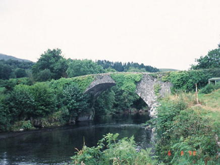 Ardtully Old BridgeBridge · 1.2 mi
 European Yew1.2 mi
 Ardtully HouseCountry house · 1.3 mi
 Bird HillMountain / peak · 2.0 mi
 KnocknamanaghMountain / peak · 3.1 mi
 Bonane Heritage ParkMuseum · 4.2 mi
,_near_Kenmare,_Co._Kerry_(geograph_5908221).jpg/250px-Bonane_Heritage_Park_-_reconstructed_crannog_(2),_near_Kenmare,_Co._Kerry_(geograph_5908221).jpg "Photo: P L Chadwick, Wikimedia Commons · CC BY-SA 2.0") CrannogHeritage attraction · 4.4 mi
CrannogHeritage attraction · 4.4 mi Graveyard4.5 mi
 Monterey Pine5.0 mi
More archaeology and monuments in County Kerry · All of County Kerry
What do you know about this place?