What is recorded here
Half a metre of stone on a bare knoll beneath Knockbrack Mountain, the peat stripped away to expose what the fields had long enclosed. A quartz vein circles its upper part like a marker no one is left to read, while two possible cooking pits wait thirty metres north as if the place still expects hunger. The stone does not tower or threaten; it stands at waist height in rough pasture, small enough to touch, old enough to make that touch feel like an intrusion.
In rough pasture, on top of a knoll, at the base of the NE-facing slopes of Knockbrack Mountain and within a network of pre-bog field boundaries (KE094-060001-). This standing stone (0.45m x 0.35m; H 0.75m) is orientated NE-SW. A quartz vein encircles the upper portion of the stone and another area of quartz is visible towards the base on the SW side. The stone stands on an area of the knoll where peat has been removed. Two possible fulachtaí fia (KE094-060003-, KE094-060004-) are situated 35m and 37m to the N, respectively.
The above description is derived from the published 'Archaeological Inventory of County Kerry. Volume I: South-West Kerry' (Dublin: Stationery Office, 2009). In certain instances the entries have been revised and updated in the light of recent research.
Date of upload: 30 May 2011
This remains an important historical record, but the official description says the monument is no longer visible or has been destroyed. The monument record does not grant public access. Check the route and ask the landowner before entering private land.
- What survives
- No visible remains or recorded as destroyed
Places near here
 Sheep FoldEnclosure · 269 yd
 SheepfoldEnclosure · 276 yd
 KnockbrackMountain / peak · 1333 yd
 OutlinedKiln, lime · 1.0 mi
 Battle of Callannbattle · 1.2 mi
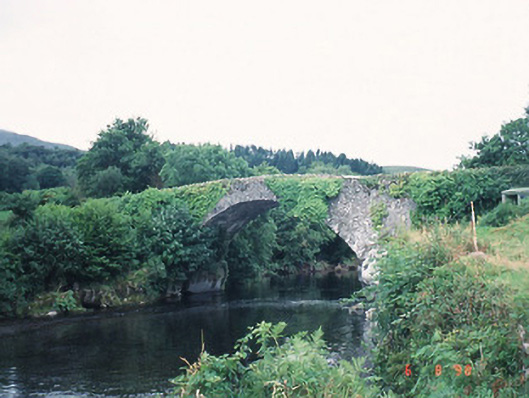 Ardtully Old Bridgebridge · 1.2 mi
 Castle (Site of)Castle, unclassified · 1.3 mi
 European YewEuropean Yew · 1.3 mi
 Kilgarvan Motor MuseumMuseum · 1.3 mi
 Knockbrack South TopMountain / peak · 1.5 mi
 Great Southern & Western RailwayMemorial · 1.7 mi
 Shanagarry Castle (Site of)Castle, unclassified · 3.1 mi