What is recorded here
Some 7m E of a ringfort (GA042-167001-) A tall thin slab of limestone conglomerate (H 2.05m), rectangular in plan, its long axis running N-S. It appears to be held in position by basal-packing stones, though field-clearance rubble has also been dumped against its base. (Killanin and Duignan 1967, 304-5)
The above description is derived from the published 'Archaeological Inventory of County Galway Vol. II - North Galway'. Compiled by Olive Alcock, Kathy de hÓra and Paul Gosling (Dublin: Stationery Office, 1999).
Date of upload: 05 August 2010
Probably dating to the Early Christian or Bronze Age period, this standing stone may have had ritual or territorial significance, possibly linked to the nearby ringfort. Such stones were sometimes used as markers, memorials, or in ceremonial contexts.
The monument record does not grant public access. Check the route and ask the landowner before entering private land.
- What survives
- Recorded monument
Places near here
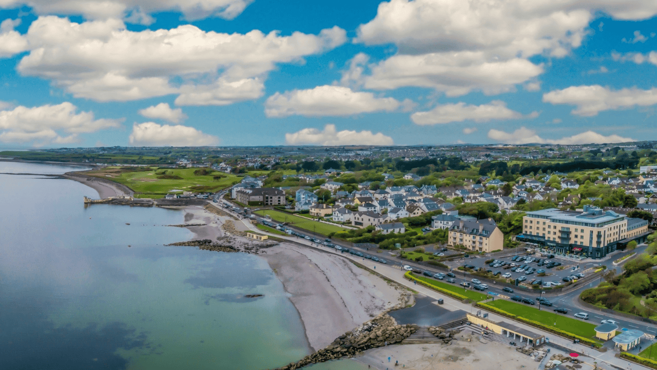
 DoonFairy fort / earthen ringfort · 700 yd
 Doonlaur FortFairy fort / earthen ringfort · 1012 yd
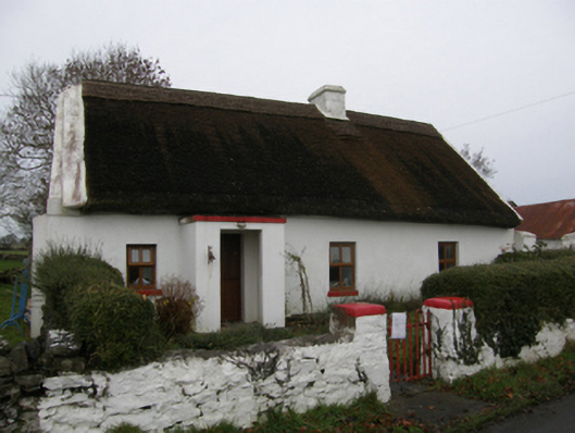 farm housefarm house · 1369 yd
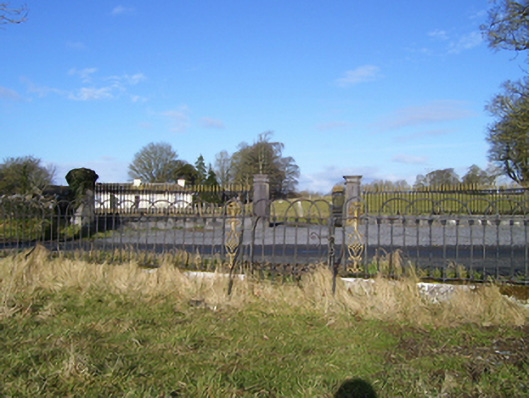 Moyne Hilldemesne walls/gates/railings · 1.0 mi
 Kinlough CastleCastle · 1.3 mi
 Moyne Castle in ruinsCastle, unclassified · 1.6 mi
 Ross Errilly FriaryHeritage attraction · 2.3 mi
 Cregg PlantationForest · 2.7 mi
 Pesooge PlantationForest · 2.7 mi
 Kilcoona Round TowerHeritage attraction · 4.2 mi
 Walsh's IslandIslet · 5.4 mi
 Otter IslandIslet · 6.0 mi