What is recorded here
Mirehill holds a faded circular rath twenty-seven metres across, its earthen bank lost to grass and time except for a ghostly suggestion on the rise. The gap at the east may be modern, but the shape remains a boundary drawn by human hands before memory faded. Fairy fort is the local name, yet the structure is a ringfort, built to exclude or protect. The land kept the outline long after the people forgot the purpose.
On a rise in grassland. Poorly preserved circular rath (D 27.7m) defined by a bank, no visible surface trace of which survives from WSW through N to NNE. A gap at E may be modern.
The above description is derived from the published 'Archaeological Inventory of County Galway Vol. II - North Galway'. Compiled by Olive Alcock, Kathy de hÓra and Paul Gosling (Dublin: Stationery Office, 1999).
Date of upload: 05 August 2010
The monument record does not grant public access. Check the route and ask the landowner before entering private land.
- What survives
- Recorded monument
Places near here
 Doonlaur FortFairy fort / earthen ringfort · 355 yd
 Cahermore FortFairy fort / earthen ringfort · 713 yd
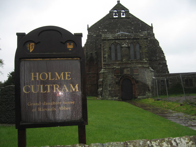 AbbeytownHouse, 18th/19th century · 1277 yd
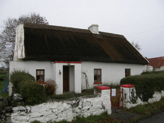 farm housefarm house · 1.0 mi
 Shrule Castle in ruinsCastle, hall-house · 1.3 mi
 Shrule CastleCastle · 1.3 mi
 Pesooge PlantationForest · 2.4 mi
 Cregg PlantationForest · 2.4 mi
 Ross Errilly FriaryHeritage attraction · 2.6 mi
 Kilcoona Round TowerHeritage attraction · 4.4 mi
 Walsh's IslandIslet · 5.8 mi
 Otter IslandIslet · 6.3 mi