
What is recorded here
In the verge of the N15, located in an area of undulating pasture, at the base, on the E side, of a small ridge, known as Laheen Hill, on top of which there is a rath (DG103-061----). Not shown on the 1836 OS 6-inch map, but indicated as 'Standing stone' on the 1907 edition. A standing stone, almost square in plan,…
Read the whole record
From the National Monuments Service (Archaeological Survey of Ireland) record DG103-063
Places near here
Photo credits
- Maker not stated on source page, archaeology.org
- Didier Descouens, Wikimedia Commons · CC BY-SA 4.0
- Maker not stated on source page, directionireland.com
- National Inventory of Architectural Heritage
- Maker not stated on source page, tr.pinterest.com
- Maker not stated on source page, www.celticguitarmusic.com
- Maker not stated on source page, ru.pinterest.com
- Maker not stated on source page, www.ilmessaggero.it
- Maker not stated on source page, www.airbnb.ae
- Maker not stated on source page, global.hsmai.org
- Maker not stated on source page, karryon.com.au
 Destroyed Bronze Age CistCist · 207 yd
Explorer Tom The Destroyed Bronze Age Cist in Laheen is gone now, but it left behind a flint thumbnail scraper that’s still doing…
 Hawthorn310 yd
Explorer Tom Hawthorn in County Donegal made a New Year's resolution to grow more thorns but ended up growing way too many and now…
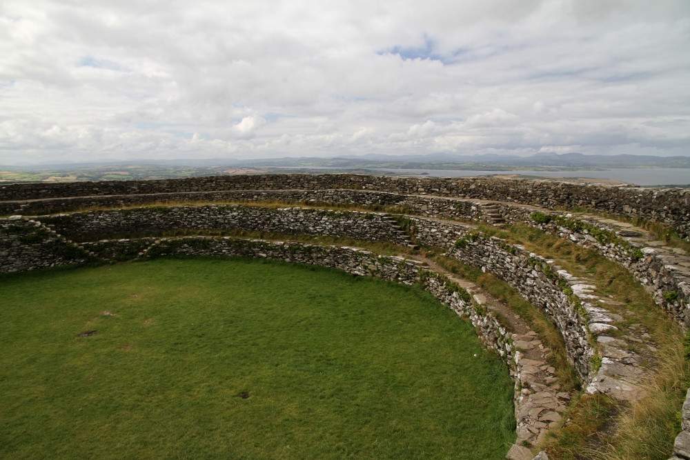 Laheen Stone RingfortFairy fort / stone ringfort · 313 yd
Explorer Tom Laheen Stone Ringfort is perched right on the hill crest with some seriously brilliant views. The wall is only twenty…
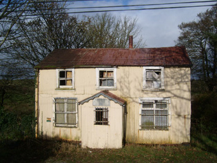 Cashelard Post OfficePost office, house · 630 yd
Explorer Tom Cashelard Post Office is wrapped in corrugated metal like a giant silver sardine! It opened in 1923 as a cheap…
 Carricknahorna Ridge Fairy FortFairy fort / earthen ringfort · 1.0 mi
Explorer Tom Carricknahorna Ridge Fairy Fort is basically a ghost of a bank on a ridge with killer views. The ditch Davies recorded?…
 bridge1.0 mi
Explorer Tom Bridge in Behy is a slightly humpbacked double-archer from c. 1800 that looks like it is trying to stretch its legs. I…
 Holy well in TullyhorkyHoly well · 1.2 mi
Explorer Tom Holy well in Tullyhorky is known as St. Columba's Well, but a kid from the 30s called it an 'unfrequented and neglected…
 Lurgan Small Stone Enclosure / CairnCairn, unclassified · 1.2 mi
Explorer Tom Lurgan Small Stone Enclosure / Cairn is an eight-metre circle with a five-deep stone-filled pit right in the middle.…
 Field system in Ballynaglogh,twomilestone,ardpattanField system · 1.2 mi
Explorer Tom Field system in Ballynaglogh, Twomilestone, Ardpattan is a limestone ridge covered in ancient walls. O. Davies found…
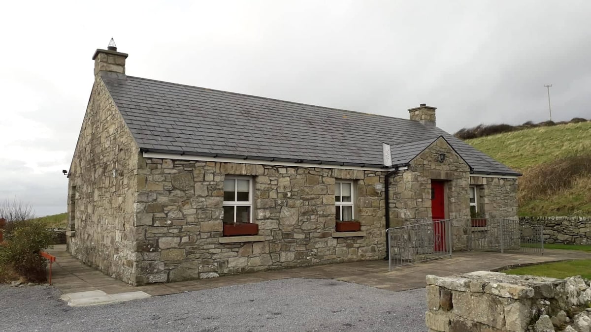 Hut site in TwomilestoneHut site · 1.3 mi
Explorer Tom Hut site in Twomilestone is just a low outline of mossy stones on the ridge slope. It’s tucked into a small enclosure…
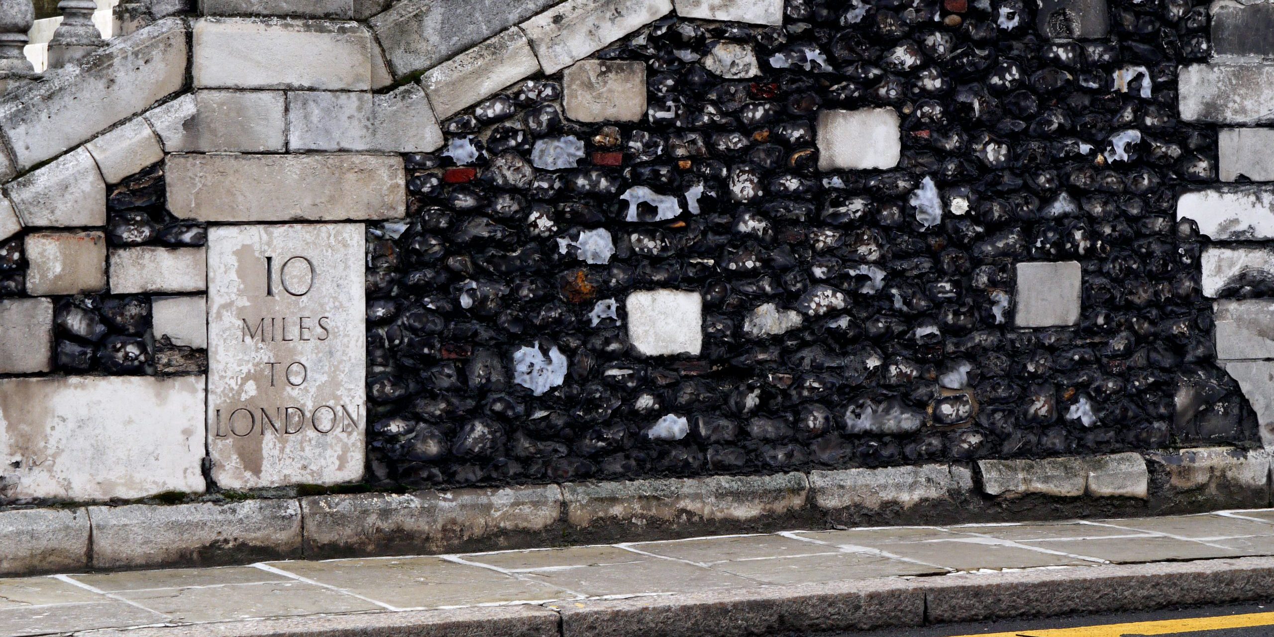 TwomilestoneStanding stone · 1.4 mi
Explorer Tom Twomilestone is a standing stone about 2.5m high that sits right on Two Mile Ridge, surrounded by packing stones and a…
 Lurgan Inner Enclosure in the HillfortEnclosure · 1.4 mi
Explorer Tom The Lurgan Inner Enclosure in the Hillfort is basically invisible unless you’re looking for mossy tussocks. It’s barely…
More archaeology and monuments in County Donegal · All of County Donegal

What do you know about this place?Tap to add a comment or ask a question