What is recorded here
Mammoth columns of red marble rise through the cedar-shaded hall, their surfaces still bearing the faint tool marks of the men who cut them. The gallery smells of oil and old stone, and every visitor touches a column before leaving, as if returning part of themselves to the building. What was taken became a room where taking can be seen, remembered, and answered.
A cist (c. 0.76m x 0.76m; D 0.6m), described as 'a short cist of Bronze Age type', was found at approximately this location in 1966, but was destroyed before it could be fully recorded. A flint thumbnail scraper was recovered from the cist (NMI; Lucas 1969, 96). In 1964 a pit burial (DG103-064----) was found c. 180m to N.
Compiled by: Jane O'Shaughnessy
Date of revised upload: 6 December 2017
Bronze Age cist; dates to the period c. 2500–800 BCE. Its significance lies in the presence of a flint thumbnail scraper, indicating funerary practices and tool use during the Bronze Age in the region.
This remains an important historical record, but the official description says the monument is no longer visible or has been destroyed. The monument record does not grant public access. Check the route and ask the landowner before entering private land.
- What survives
- No visible remains or recorded as destroyed
Places near here
 Laheen Fairy FortFairy fort / earthen ringfort · 340 yd
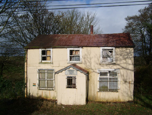 Cashelard Post Officepost office, house · 434 yd
 HawthornHawthorn · 509 yd
 Laheen Limestone-Terrace EnclosureEnclosure · 1250 yd
 bridgebridge · 1655 yd
 Castle (Site of)Castle, unclassified · 2.4 mi
 Castle in ruinsCastle, unclassified · 2.7 mi
 St Anne's Church GraveyardGraveyard · 3.0 mi
 RossnowlaghOfficial bathing water · 3.3 mi
 Kilbarron Old Church GraveyardGraveyard · 3.6 mi
 Dark Cliffs at KilbarronPublicly named cliff or headland · 4.3 mi
 Wardtown StrandBeach / strand · 4.4 mi