
What is recorded here
Located on a level terrace towards the base of a NNE-facing ridge slope, overlooking a flat-based, boggy valley. There are three lakes, Lough Laheen, Lough Gorman and Lough Tullaghevlin, within a few hundred meters of the enclosure, located at the W, N, and SE ends of the valley, respectively. At its SE edge, c. 50m from the enclosure, the terrace gives way to an escarpment of exposed limestone which extends to SE, and shows evidence of quarrying. The enclosure consists of a circular area (24m N–S; 24m E–W) defined by remnants of a stone wall. The wall is evident as a low, moss-covered rise (Wth c. 2.5m; H 0.2m) with large stones protruding on the outer edge at E–S. At N–NE the wall has a pronounced internal scarp which gives the enclosure a slightly sunken or saucer-shaped profile. The SE quadrant of the interior feels stonier underfoot, and a slight undulation traversing the SE quadrant, on a NE–SW axis, may be an internal division or possibly just a line of bedrock. A later drystone field wall, on a roughly N–S axis, crosses the enclosure at SW–NW, overlying the inner edge of the enclosing wall, and partly respecting its curve. Located 6m to S of the enclosure, there is a square structure (3.8m E–W; 4m N–S) defined by a low, sod-covered stony bank (Wth 0.6m; H 0.2-0.3m), possibly remnants of a vernacular building or house. Traces of a second roughly square structure (c. 3.6 E–W; 3.6m N–S) are located 4.4m to E bordered on the E side by a limestone scarp.
Attached images:
DG103-096----_01.JPG viewed from N
DG103-096----_02.JPG viewed from S
Compiled by: Jane O'Shaughnessy
Date of upload: 27 November 2015
A local fairy fort (ringfort/rath); wider significance not recorded.
The monument record does not grant public access. Check the route and ask the landowner before entering private land.
- What survives
- Recorded monument
Places near here
 HawthornHawthorn · 881 yd
 Laheen Fairy FortFairy fort / earthen ringfort · 1158 yd
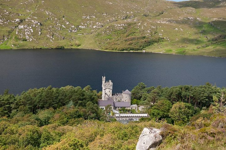 Enclosure in GarvanaghEnclosure · 1291 yd
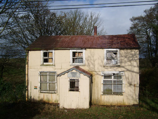 Cashelard Post Officepost office, house · 1586 yd
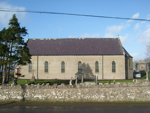 Immaculate Heart of Mary Catholic Churchchurch/chapel · 1750 yd
 Castle (Site of)Castle, unclassified · 1.9 mi
 Castle in ruinsCastle, unclassified · 3.4 mi
 RossnowlaghOfficial bathing water · 3.5 mi
 St Anne's Church GraveyardGraveyard · 3.7 mi
 Kilbarron Old Church GraveyardGraveyard · 4.1 mi
 MurvaghOfficial bathing water · 4.6 mi
 Belleek Pottery MuseumMuseum · 4.6 mi
Other information
Photo: Credit not shown in the picture search · Rights wording not checked; contact us if this picture should be removed