What is recorded here
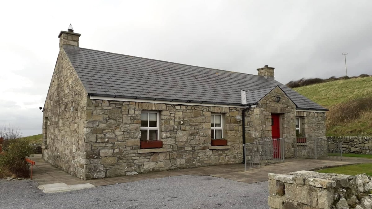
In pasture, located on the S-facing slope of Twomilestone ridge, just to N of the boundary of Twomilestone with Tullymore townland. This possible hut site was first recorded by Davies (1942, 99-100). He designated it ‘hut a’, and described it as a roughly rectangular hut which had ‘walls partly revetted with…
Read the whole record
From the National Monuments Service (Archaeological Survey of Ireland) record DG107-004003
Places near here
Photo credits
- Maker not stated on source page, www.ilmessaggero.it
- Maker not stated on source page, global.hsmai.org
- Maker not stated on source page, www.pinterest.com
- Maker not stated on source page, commons.wikimedia.org
- Maker not stated on source page, www.flickr.com
- National Inventory of Architectural Heritage
- Maker not stated on source page, www.stockvault.net
- Kenneth Allen, Geograph · CC BY-SA 2.0
- Dean Molyneaux, Geograph · CC BY-SA 2.0
 Field system in Ballynaglogh,twomilestone,ardpattanField system · 180 yd
Explorer Tom Field system in Ballynaglogh, Twomilestone, Ardpattan is a limestone ridge covered in ancient walls. O. Davies found…
 TwomilestoneStanding stone · 212 yd
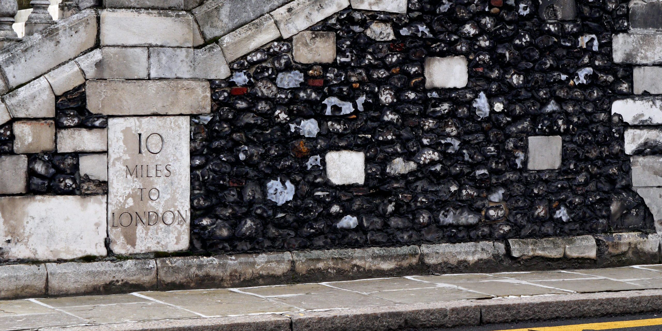
Explorer Tom Twomilestone is a standing stone about 2.5m high that sits right on Two Mile Ridge, surrounded by packing stones and a…
 Tullymore Third Ring-BarrowBarrow, ring-barrow · 829 yd
Explorer Tom Tullymore Third Ring-Barrow sits on the edge of a ridge with views over the Erne valley. It’s twelve metres across…
 Tullymore Middle Ring-BarrowBarrow, ring-barrow · 856 yd
Explorer Tom Tullymore Middle Ring-Barrow is a neat circular dip with a bank and a causeway to the southeast. It’s just a slightly…
 Tullymore Western Ring-BarrowBarrow, ring-barrow · 883 yd
Explorer Tom Tullymore Western Ring-Barrow is a six-metre circular dip with a bank and a western causeway, sitting right next to its…
 Tullymore BridgeBridge · 1389 yd
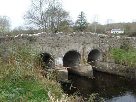
Explorer Tom Tullymore Bridge puts a gentle hump in the road above the Two Mile Water. Its three arches date from around 1800, while…
 bridge1.7 mi
Explorer Tom Bridge in Ardeelan Lower has a red brick arch that looks like it was built by someone who got a little dizzy. I bet the…
 Mapped cemeteryCemetery · 1.9 mi
Explorer Tom “Mapped cemetery” in County Donegal is currently being debated by the rabbits over whose burrow it actually belongs to.…
 Cave in Abbey IslandCave · 2.0 mi
Explorer Tom Cave in Abbey Island was nearly sold to a farmer for a horse and a sack of oats, which would have been a terrible deal.…
 Shannon's CornerRestaurant · 2.1 mi
Explorer Tom Shannon's Corner restaurant in Donegal would bring a very unremarkable cake to a party because it’s terrified of being…
 McGinley's BarPub · 2.1 mi
Explorer Tom McGinley’s Bar is on Bishop Street, so maybe bring your prayers just in case something weird happens over there. Order…
 RossnowlaghOfficial bathing water · 2.3 mi
Explorer Tom Rossnowlagh seems to have decided that four kilometres of sand is the minimum space a person needs to think properly.…
More archaeology and monuments in County Donegal · All of County Donegal

What do you know about this place?Tap to add a comment or ask a question