
What is recorded here
Located on a slight gravel ridge in farmland. This marks the approximate location of a Bronze Age pit-burial uncovered in 1964 in a tillage field, at a depth of c. 10cm below surface. It consisted of a circular pit (diam. 0.5m; D 0.35m) sealed at top by a stone slab (L 0.54m; Wth 0.46m; T 0.06m). In the base of the…
Read the whole record
From the National Monuments Service (Archaeological Survey of Ireland) record DG103-064
Places near here
Photo credits
- Maker not stated on source page, irelandonabudget.com
- Maker not stated on source page, archaeology.org
- Maker not stated on source page, directionireland.com
- Didier Descouens, Wikimedia Commons · CC BY-SA 4.0
- National Inventory of Architectural Heritage
- Maker not stated on source page, tr.pinterest.com
- Maker not stated on source page, www.celticguitarmusic.com
- Maker not stated on source page, ru.pinterest.com
- Maker not stated on source page, www.ilmessaggero.it
- Maker not stated on source page, www.airbnb.ae
- Maker not stated on source page, global.hsmai.org
 Standing stone in LaheenStanding stone · 12 yd
Explorer Tom Standing stone in Laheen is hanging out near where they found a Bronze Age burial way back in 1964. It’s basically the…
 Destroyed Bronze Age CistCist · 206 yd
Explorer Tom The Destroyed Bronze Age Cist in Laheen is gone now, but it left behind a flint thumbnail scraper that’s still doing…
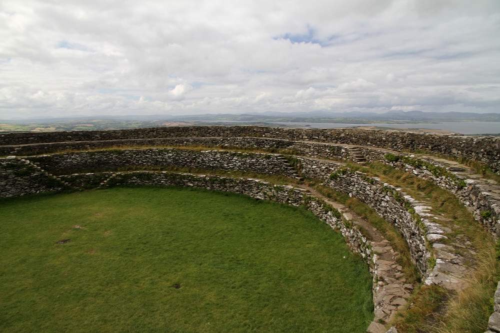 Laheen Stone RingfortFairy fort / stone ringfort · 301 yd
Explorer Tom Laheen Stone Ringfort is perched right on the hill crest with some seriously brilliant views. The wall is only twenty…
 Hawthorn308 yd
Explorer Tom Hawthorn in County Donegal made a New Year's resolution to grow more thorns but ended up growing way too many and now…
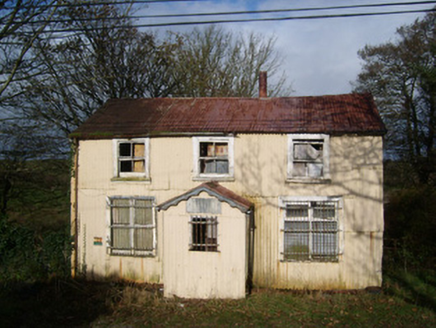 Cashelard Post OfficePost office, house · 632 yd
Explorer Tom Cashelard Post Office is wrapped in corrugated metal like a giant silver sardine! It opened in 1923 as a cheap…
 Carricknahorna Ridge Fairy FortFairy fort / earthen ringfort · 1.0 mi
Explorer Tom Carricknahorna Ridge Fairy Fort is basically a ghost of a bank on a ridge with killer views. The ditch Davies recorded?…
 bridge1.0 mi
Explorer Tom Bridge in Behy is a slightly humpbacked double-archer from c. 1800 that looks like it is trying to stretch its legs. I…
 Holy well in TullyhorkyHoly well · 1.2 mi
Explorer Tom Holy well in Tullyhorky is known as St. Columba's Well, but a kid from the 30s called it an 'unfrequented and neglected…
 Lurgan Small Stone Enclosure / CairnCairn, unclassified · 1.2 mi
Explorer Tom Lurgan Small Stone Enclosure / Cairn is an eight-metre circle with a five-deep stone-filled pit right in the middle.…
 Field system in Ballynaglogh,twomilestone,ardpattanField system · 1.2 mi
Explorer Tom Field system in Ballynaglogh, Twomilestone, Ardpattan is a limestone ridge covered in ancient walls. O. Davies found…
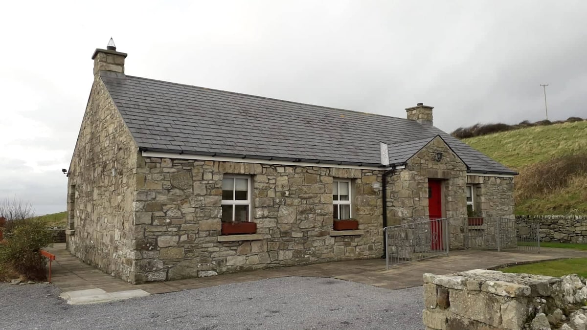 Hut site in TwomilestoneHut site · 1.3 mi
Explorer Tom Hut site in Twomilestone is just a low outline of mossy stones on the ridge slope. It’s tucked into a small enclosure…
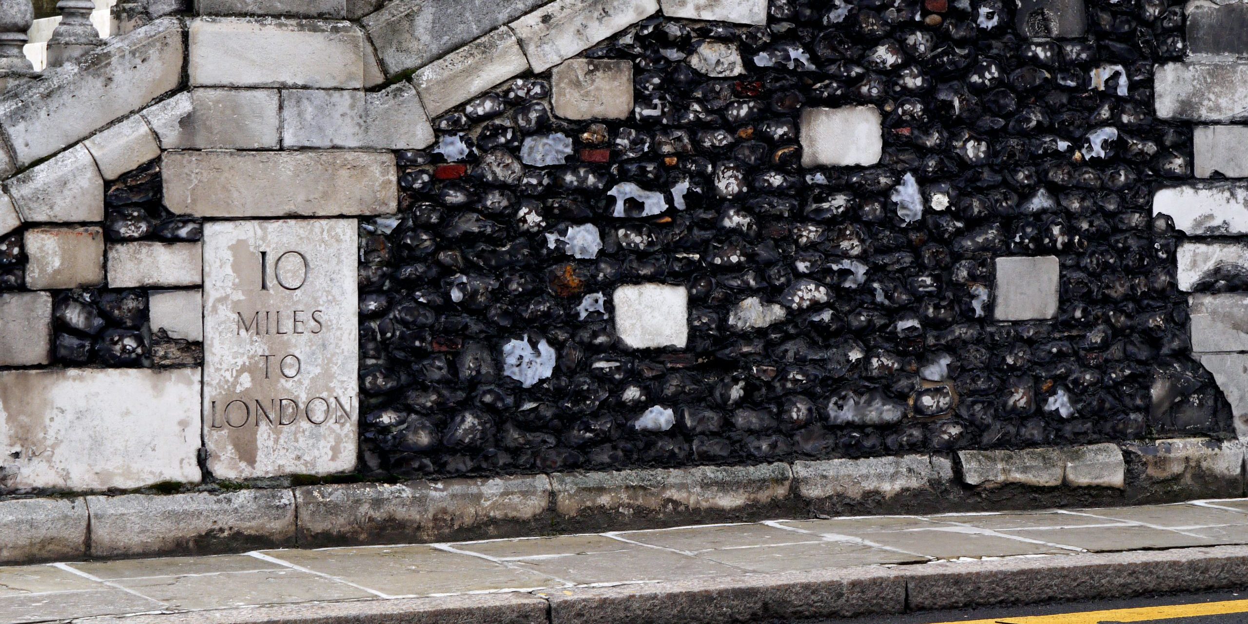 TwomilestoneStanding stone · 1.4 mi
Explorer Tom Twomilestone is a standing stone about 2.5m high that sits right on Two Mile Ridge, surrounded by packing stones and a…
More archaeology and monuments in County Donegal · All of County Donegal

What do you know about this place?Tap to add a comment or ask a question