What is recorded here
In a prominent position on the W slope of a low hill, in a green area within a housing estate. A low, subrectangular limestone upright (H 1.02m; Wth 0.38m; T 0.26m). The top of the stone has been shattered in recent times and a piece has been broken off.
Compiled by: Patrick F. O'Donovan
Date of upload: 24 December 2012
Probably dating to the Bronze Age, this standing stone may have had ritual or territorial significance. Its location on a prominent slope suggests it could have been part of a wider landscape of ceremonial or waymarking features, though specific folklore or use is not recorded.
The monument record does not grant public access. Check the route and ask the landowner before entering private land.
- What survives
- Recorded monument
Places near here
 BarrowBarrow, ring-barrow · 299 yd
 gates/railings/wallsgates/railings/walls · 514 yd
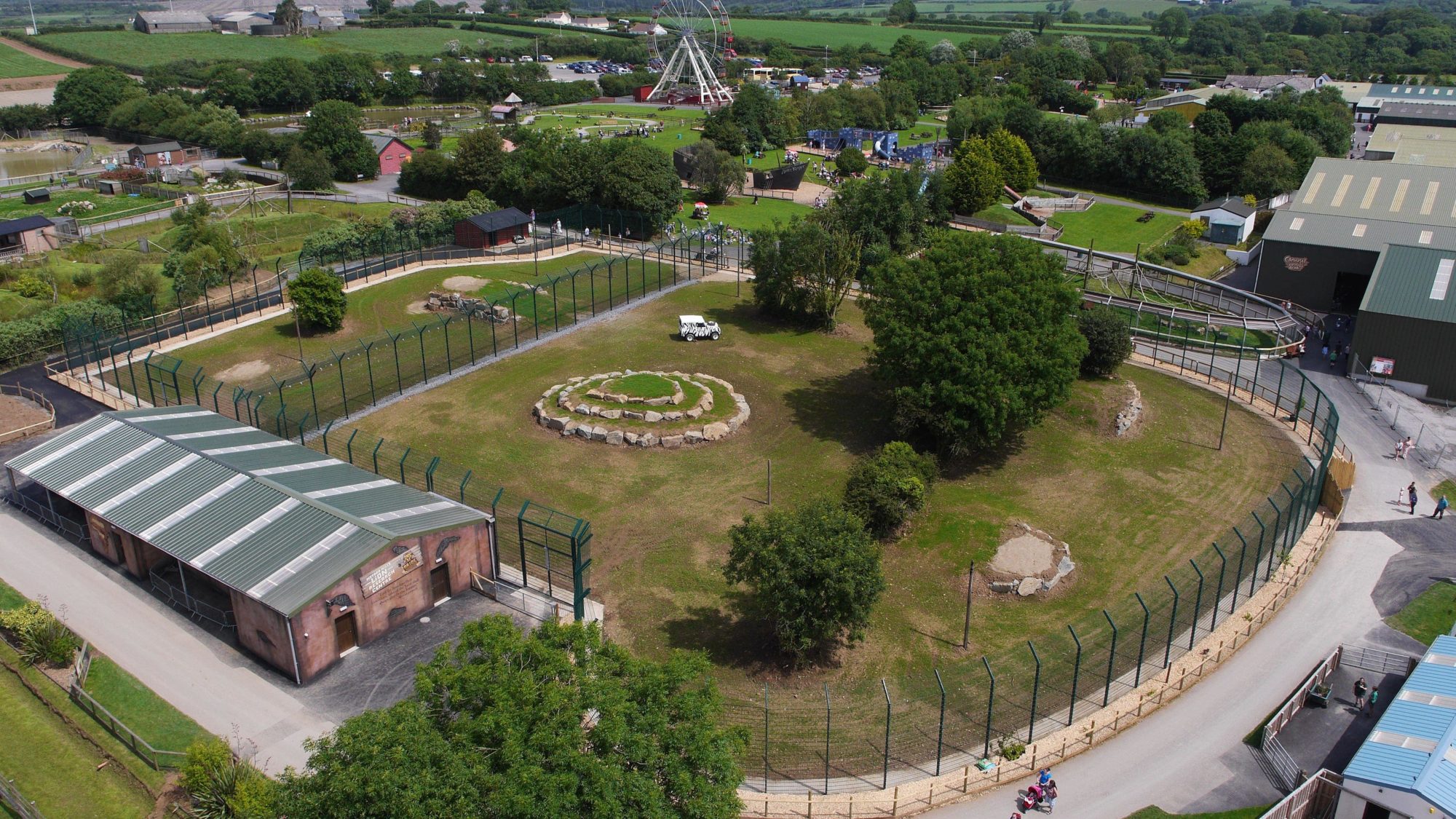 Enclosure in BallymauriceEnclosure · 600 yd
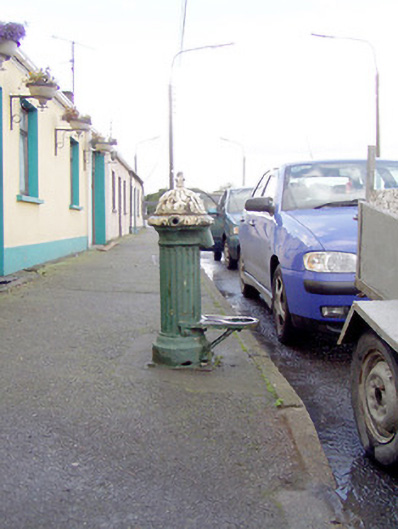 water pumpwater pump · 792 yd
 Moat of GranardCastle, motte and bailey · 1150 yd
 Bakers FortCastle, ringwork · 1151 yd
 Granard MotteMotte-and-bailey castle remains · 1184 yd
 1798 Monumentmonument · 1195 yd
 CartronfreeMountain / peak · 3.3 mi
 Clonfin Ambush MemorialMemorial · 4.0 mi
 CarrickabaneMountain / peak · 4.2 mi
 Cloonfin WoodForest · 4.4 mi