What is recorded here
Fairy fort in Cartron, County Longford: a 30-by-25m oval shelf on a south-facing slope, still marked by a low earth-and-stone bank and a cutting scar. The entrance has vanished, and even the outside ditch has filled, yet the shape remains like a room abandoned but not forgotten. People may have lived there, or merely avoided it; either way, the land kept the outline of a choice made long before anyone could point to the door.
On a shelf of level ground on a S-facing slope. A raised oval area (30m N-S; 25m E-W) enclosed from NW-NNW-N by a low bank of earth and stone (Wth 3.7m; H 0.2-0.95m) and elsewhere defined by a scarp (H 0.55-1.35m). A report in 1975 (SMR file) recorded an external fosse, which has since been infilled. The original entrance is not recognisable.
Compiled by: Patrick F. O'Donovan
Date of upload: 26 August 2011
The monument record does not grant public access. Check the route and ask the landowner before entering private land.
- What survives
- Recorded monument
Places near here
 gates/railings/wallsgates/railings/walls · 557 yd
 St. Patricks WellHoly well · 830 yd
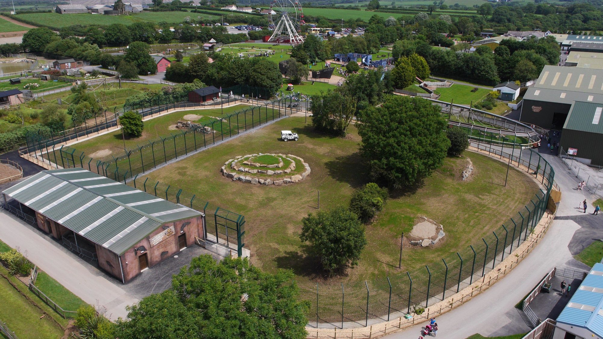 Enclosure in BallymauriceEnclosure · 891 yd
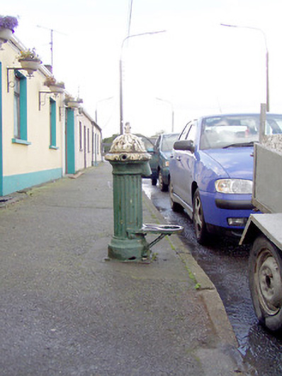 water pumpwater pump · 995 yd
 Moat of GranardCastle, motte and bailey · 1144 yd
 CastleCastle, unclassified · 1177 yd
 Granard MotteMotte-and-bailey castle remains · 1193 yd
 1798 Monumentmonument · 1271 yd
 CartronfreeMountain / peak · 3.6 mi
 Clonfin Ambush MemorialMemorial · 3.6 mi
 Cloonfin WoodForest · 4.1 mi
 CarrickabaneMountain / peak · 4.5 mi