
What is recorded here
From the National Monuments Service (Archaeological Survey of Ireland) record LH003-006
Places near here
Photo credits
- National Inventory of Architectural Heritage
- Maker not stated on source page, monumentalireland.ie
- Maker not stated on source page, tr.pinterest.com
- Eric Jones, Wikimedia Commons · CC BY-SA 2.0
- Maker not stated on source page, id.pinterest.com
- Maker not stated on source page, kr.pinterest.com
- Eric Jones, Geograph · CC BY-SA 2.0
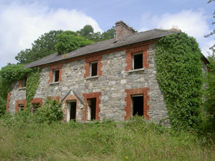 Dungooly MillMiller's house · 145 yd
Explorer Tom Dungooly Mill hosted a dance once where everyone got too carried away and broke the floor, which is why it looks so…
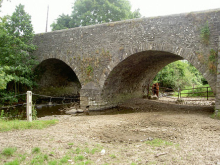 Dungooly BridgeBridge · 397 yd
Explorer Tom Dungooly Bridge in Drumbilla is standing there all stone-faced because it heard someone say a king visited and nobody…
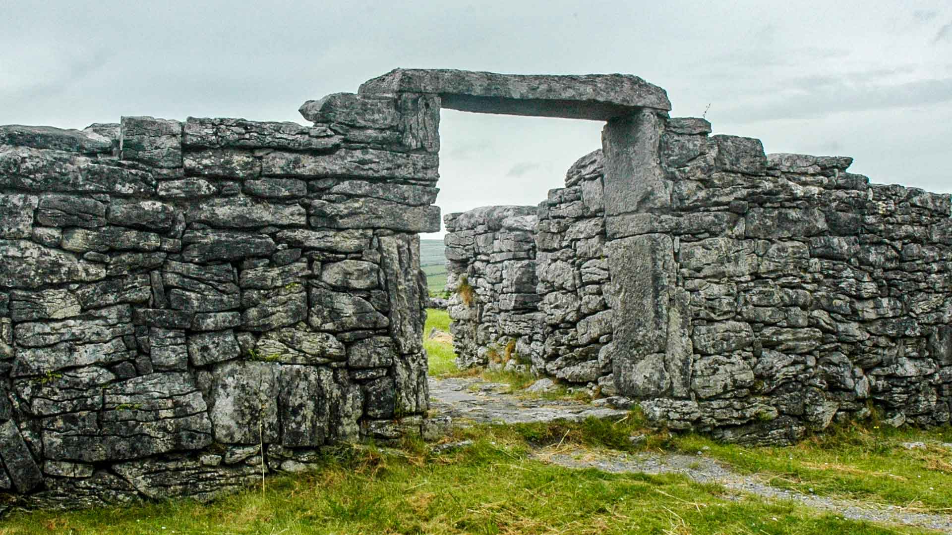 Fairy fort / earthen ringfort in DrumbillaFairy fort / earthen ringfort · 983 yd
Explorer Tom Fairy fort / earthen ringfort in Drumbilla is basically a sheep’s opinion of where the fairies nap. They don’t care…
 Hilltop Enclosure: Carrickinaffrin in SheanHilltop Enclosure: Carrickinaffrin · 1024 yd
Explorer Tom Hilltop Enclosure: Carrickinaffrin in Shean sits up high acting like it knows something we don't. I bet smugglers used…
 Urney GraveyardGraveyard · 1227 yd
Explorer Tom Urney Graveyard in County Louth is deeply suspicious of the postman and believes he drops letters from the living into…
 Graveyard in DungoolyGraveyard · 1228 yd
Explorer Tom Dungooly has a quernstone that vanished into thin air, leaving only mystery behind it. It would survive a zombie attack…
 Carrive ForestVisitor information · 1418 yd
Explorer Tom Carrive Forest claims there is a shortcut through the woods that actually leads you straight back to the start, just to…
 Forkhill Greenspace PathwayWalking route · 1.1 mi
Explorer Tom Forkhill Greenspace Pathway in County Armagh would survive a reality show by hiding behind the trees and pretending…
 CroslieveMountain / peak · 1.3 mi
Explorer Tom Croslieve is playing hard to get, sitting at three-sixty metres with an old comms mast cable making it look like a…
 Ring of Gullion Way - ForkhillVisitor information · 1.3 mi
Explorer Tom Ring of Gullion Way - Forkhill in County Armagh has a prophecy saying it would turn into a giant donut by Christmas…
 TievecromMountain / peak · 1.5 mi
Explorer Tom Tievecrom had a watchtower called Romeo 23 up top, which sounds like a code name for a very confused romantic spy…
 Mass Rock Loop TrailWalking route · 1.5 mi
Explorer Tom Mass Rock Loop Trail is named after a rock that apparently held a mass, which sounds like a lot of pressure for a piece…
More archaeology and monuments in County Louth · All of County Louth

What do you know about this place?Tap to add a comment or ask a question