What is recorded here
In pasture with commanding views to S. Triangular stone aligned E-W (H 1.12m; 1.22m x 0.55m). According to landowner there were 3 stones here up to c. 1945.
The above description is derived from the published 'Archaeological Inventory of County Cork. Volume 1: West Cork' (Dublin: Stationery Office, 1992). In certain instances the entries have been revised and updated in the light of recent research.
Date of upload/revision: 14 January 2009
Likely dating to the Neolithic or Bronze Age, this standing stone may have functioned as a territorial marker, ceremonial focus, or astronomical alignment. Local tradition or folklore is not recorded, but its alignment and elevated position suggest a symbolic or ritual use.
The monument record does not grant public access. Check the route and ask the landowner before entering private land.
- What survives
- Recorded monument
Places near here
 Hut site in KilbrownHut site · 147 yd
 CaherbaunFairy fort / earthen ringfort · 567 yd
 KnocknamaddreeMountain / peak · 1184 yd
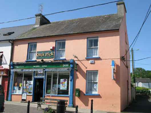 Goleen Post Officehouse · 1.1 mi
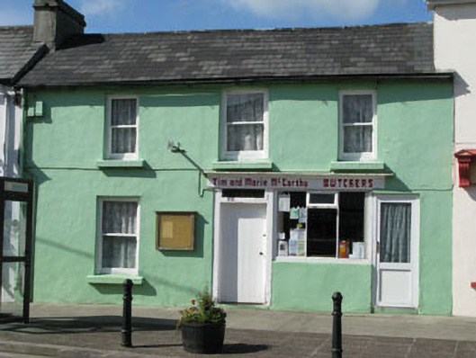 Tim and Marie McCarthy Butchershouse · 1.1 mi
 KnockboyMountain / peak · 1.4 mi
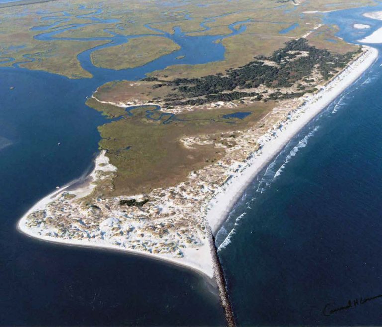 Bird IslandIslet · 1.9 mi
 Ballyrisode WoodWood · 2.5 mi
 Creamery PlatformMemorial · 2.6 mi
 Ballyrisode PointHeadland · 2.7 mi
 Castle (Site of)Castle, unclassified · 3.0 mi
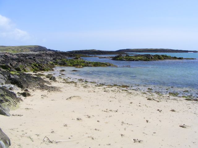 Galley Cove BeachBeach / strand · 3.3 mi