What is recorded here
Fairy fort in Balteen, County Cork: a 21-metre earthen ring on a north-facing slope above Dunmanus Bay, with a 0.7-metre bank and uneven interior. It is the kind of place where people may have kept livestock, hidden tools or refused to leave because the shape still mattered. The bay light, grass tone and old boundary make it feel less like a ruin and more like a room the land never stopped using.
In pasture, on N-facing slope, over looking Dunmanus Bay. Circular area (diam. 21m) defined by earthen bank (H 0.7m) NE->NW; scarp (H 0.45m) to N. Very uneven interior.
The above description is derived from the published 'Archaeological Inventory of County Cork. Volume 1: West Cork' (Dublin: Stationery Office, 1992). In certain instances the entries have been revised and updated in the light of recent research.
Date of upload/revision: 14 January 2009
The monument record does not grant public access. Check the route and ask the landowner before entering private land.
- What survives
- Recorded monument
Places near here
 KnockboyMountain / peak · 592 yd
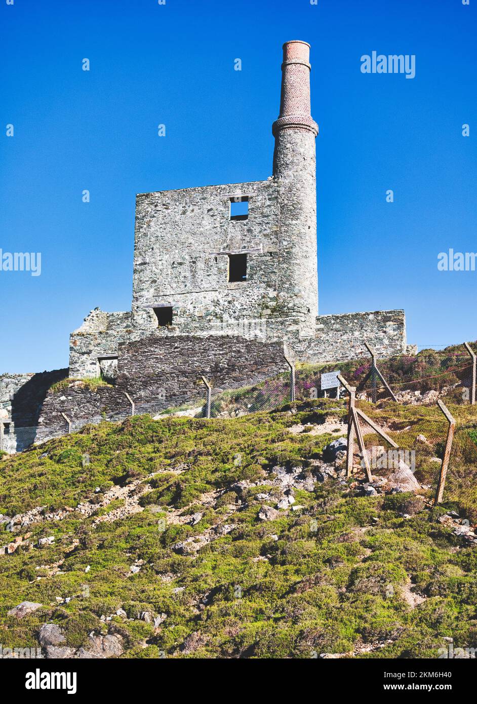 MineMine, copper · 820 yd
 Hut site in Balteen (carbery West (w.d.) By., Kilmore Par.)Hut site · 867 yd
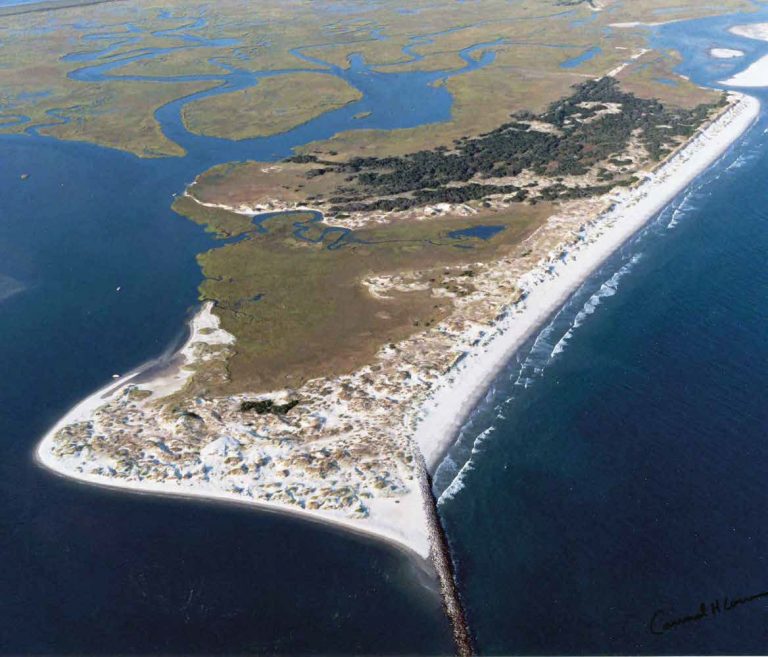 Bird IslandIslet · 875 yd
 Burial ground in Carrigacat AND MilleenBurial ground · 1271 yd
 KnocknamaddreeMountain / peak · 1381 yd
 Creamery PlatformMemorial · 2.2 mi
 Castle (Site of)Castle, unclassified · 2.3 mi
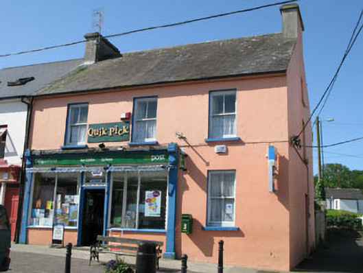 Goleen Post Officehouse · 2.4 mi
 Barley CoveHeritage attraction · 3.0 mi
 Chimney CoveBeach / strand · 3.0 mi
 Tra Ruaim Fishing SpurWalking route · 3.3 mi