What is recorded here
In undulating pasture. This large, irregularly shaped, limestone upright (H 2.7m; Wth 2.1m; T 0.3m) tapers to a point and is aligned NNE-SSW. At its base are several packing-stones. (ITA Survey 1944)
Compiled by: Patrick F. O'Donovan
Date of upload: 1st March 2012
The monument record does not grant public access. Check the route and ask the landowner before entering private land.
- What survives
- Recorded monument
Places near here
 Enclosure in CartronbrackEnclosure · 137 yd
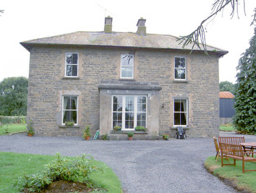 Laurel Lodgehouse · 623 yd
 IndicatedFairy fort / earthen ringfort · 753 yd
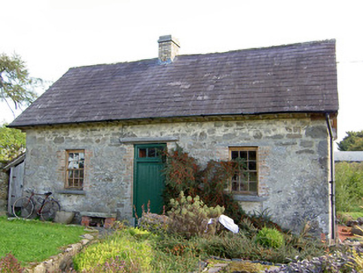 Lislea Housegate lodge · 1007 yd
 Barry CastleCastle, unclassified · 1.3 mi
 Bawn in TirlickeenBawn · 1.8 mi
 Corlea Bog Walk Canal BranchWalking route · 2.3 mi
 Corlea Trackway Interpretative CentreHeritage attraction · 2.6 mi
 Corlea Bog Walk Blue LoopWalking route · 2.9 mi
 Graveyard in Curry (ardagh By., Coolamber Ed)Graveyard · 5.6 mi
 Leveret IslandIslet · 6.6 mi
 InchbofinIslet · 7.5 mi