
What is recorded here
Indicated is a fairy fort on a SW-facing slope in County Longford, marked as a circular embanked enclosure on the 1837 OS map. Its subcircular ridge still rises beside pasture, though hedgerow and fence have taken the western edge and the entrance has vanished. People may have lived there before becoming a warning, a boundary marker or a childhood story about what should not be dug.
On a SW-facing slope in pasture. Depicted as a circular embanked enclosure with the designation 'Fort' on the 1837 ed. of the OS 6-inch map. A subcircular raised area (c. 49m N-S; c. 46m E-W) defined by a scarp (H 0.8-1m), which has been faced with drystone masonry. From WNW-NW-NNW the scarp has been removed and replaced with a NE-SW hedgerow and field fence; elsewhere modern field boundaries skirt the base of it. There is no trace of a fosse and the original entrance is not recognisable.
Compiled by: Patrick F. O'Donovan
Date of upload: 18 January 2012
This remains an important historical record, but the official description says the monument is no longer visible or has been destroyed. The monument record does not grant public access. Check the route and ask the landowner before entering private land.
- What survives
- No visible remains or recorded as destroyed
Places near here
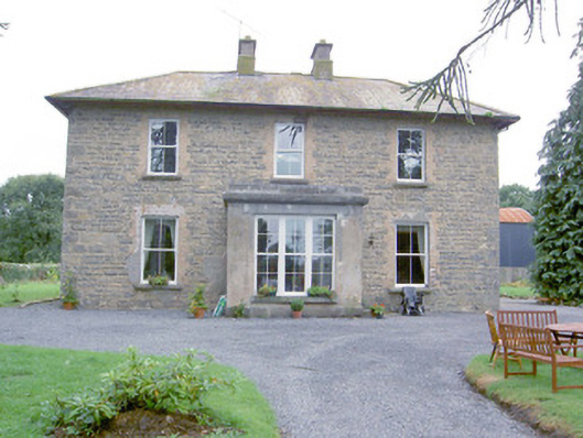 Laurel Lodgehouse · 211 yd
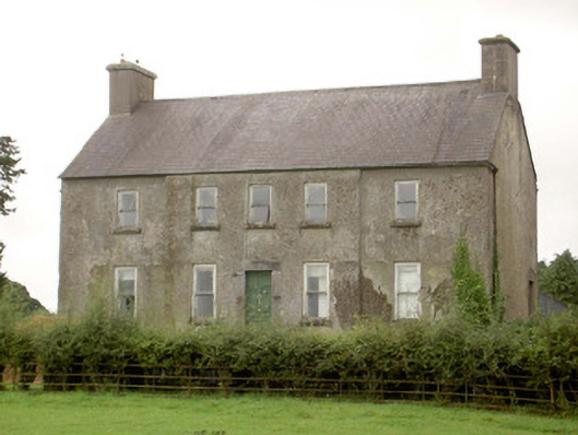 Glenmore Househouse · 556 yd
 Enclosure in CartronbrackEnclosure · 872 yd
 Enclosure in Glenmore (moydow By.)Enclosure · 886 yd
 Barry CastleCastle, unclassified · 1.7 mi
 CastleCastle, unclassified · 1.7 mi
 Corlea Bog Walk Canal BranchWalking route · 2.0 mi
 Corlea Trackway Interpretative CentreHeritage attraction · 2.3 mi
 Corlea Bog Walk Blue LoopWalking route · 2.5 mi
 Graveyard in Curry (ardagh By., Coolamber Ed)Graveyard · 5.3 mi
 Leveret IslandIslet · 6.6 mi
 InchbofinIslet · 7.5 mi
Other information
Photo: Credit not shown in the picture search · Rights wording not checked; contact us if this picture should be removed