What is recorded here
Located on a N-facing slope within Ballinamore, it was on the street outside McAllister's Hotel until it was moved to a back-garden. It is marked only on the 1912 edition of the OS 6-inch map, and described as a stone '5 feet 8 inches high' (H c. 1.8m) and with a girth or circumference of '10 feet 6 inches' (c. 3.2m ) (OSFM).
The above description is derived from 'The Archaeological Inventory of County Leitrim' compiled by Michael J. Moore (Dublin: Stationery Office, 2003). In certain instances the entries have been revised and updated in the light of recent research.
Date of upload: 23 September 2008
Likely dating to the Bronze Age, the standing stone may have served a ceremonial or territorial function. Local folklore sometimes associates such stones with ancient pathways or protective markers.
The monument record does not grant public access. Check the route and ask the landowner before entering private land.
- What survives
- Recorded monument
Places near here
 Martin'shouse · 37 yd
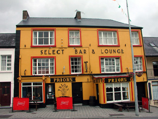 hotelhotel · 68 yd
 John Joe McGirlMonument · 506 yd
 EnclosureFairy fort / earthen ringfort · 1465 yd
 DrumbadMountain / peak · 1.7 mi
 DrumgownaghMountain / peak · 2.6 mi
 Cromlin Bridge WoodWood · 2.8 mi
 Turf IslandIsland · 3.0 mi
 Buck IslandIsland · 3.0 mi
 Swan Island pet farmHeritage attraction · 3.5 mi
 European ashEuropean ash · 3.7 mi
 CastleCastle, tower house · 4.0 mi