What is recorded here
Mysterious standing stones dot the landscape of northwest Europe. Some mark burial mounds, some gather ritual crowds, and some simply watch the land pass through human ages. The cabry stone belongs to that old company: a tall witness on fertile ground, tilted slightly by time, still catching light while the world around it changes.
A standing stone 1.35m high × 1.05m wide × 0.55m maximum thickness; E-W. Situated on fertile land sloping SE to Lough Foyle.
The above description was derived from the 'Archaeological Survey of County Donegal. A description of the field antiquities of the County from the Mesolithic Period to the 17th century.' Compiled by: Brian Lacey with Eamon Cody, Claire Cotter, Judy Cuppage, Noel Dunne, Vincent Hurley, Celie O'Rahilly, Paul Walsh and Seán Ó Nualláin (Lifford: Donegal County Council, 1983). In certain instances the entries have been revised and updated.
Date of upload: 22 September 2008
Likely dating to the Late Neolithic or Bronze Age, this standing stone may have functioned as a territorial marker, ceremonial focus, or astronomical alignment feature. No specific folklore or inscriptions are recorded, though its position on fertile land near Lough Foyle suggests a connection to early agricultural or ritual activity in the region.
The monument record does not grant public access. Check the route and ask the landowner before entering private land.
- What survives
- Recorded monument
Places near here
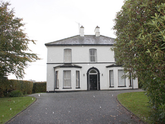 The Mansemanse · 1100 yd
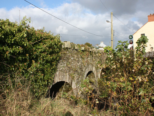 bridgebridge · 1160 yd
 Quigley's PointHeadland · 1554 yd
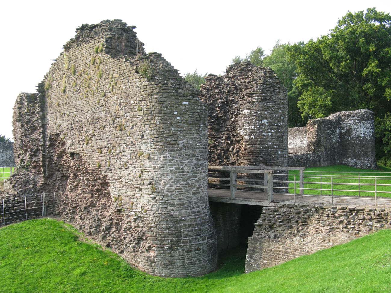 Whitecastle Fairy FortFairy fort / earthen ringfort · 1.1 mi
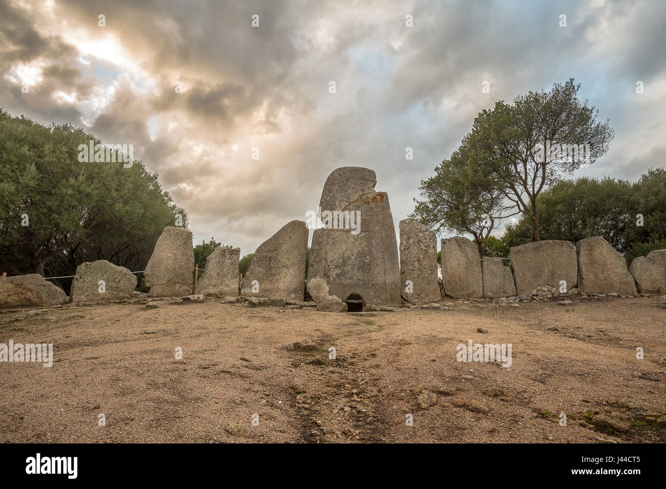 Giant's GraveArchaeological place · 1.2 mi
 Three Trees Ecclesiastical EnclosureEcclesiastical enclosure · 1.7 mi
 Site of Red CastleCastle, unclassified · 3.5 mi
 CroaghmoreMountain / peak · 3.6 mi
 Eskaheen GraveyardGraveyard · 4.5 mi
 Castle CaryCastle, unclassified · 5.0 mi
 Muff ForestWoodland walk · 5.2 mi
 CrockavishaneMountain / peak · 5.9 mi