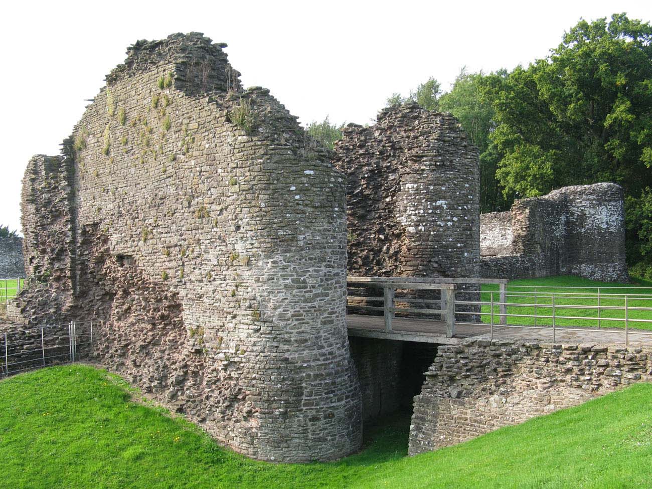
What is recorded here
No visible entrance, no straight answer. The fort circles itself like a claim refused, its broken bank holding a shape rather than a door. On the east side the ditch and outer wall still stand, while the north-west fades into grass and memory. It sits above Lough Foyle in working land, neither hidden nor displayed, but waiting to be read by someone patient enough to stop asking it to be certain.
Internal diam. 25m. A subcircular area, enclosed by an earthen bank with several breaks but no definite original entrance. The internal height varies from .75m to 1.5m. On the NW side there is a faint trace of an outer bank, on the E side, however, a fosse and outer bank are still in situ. Situated on slightly sloping ground, overlooking Lough Foyle to the SE, higher ground to NW, in good cultivated land.
The above description was derived from the 'Archaeological Survey of County Donegal. A description of the field antiquities of the County from the Mesolithic Period to the 17th century.' Compiled by: Brian Lacey with Eamon Cody, Claire Cotter, Judy Cuppage, Noel Dunne, Vincent Hurley, Celie O'Rahilly, Paul Walsh and Seán Ó Nualláin (Lifford: Donegal County Council, 1983). In certain instances the entries have been revised and updated.
Date of upload: 22 September 2008
The monument record does not grant public access. Check the route and ask the landowner before entering private land.
- What survives
- Recorded monument
Places near here
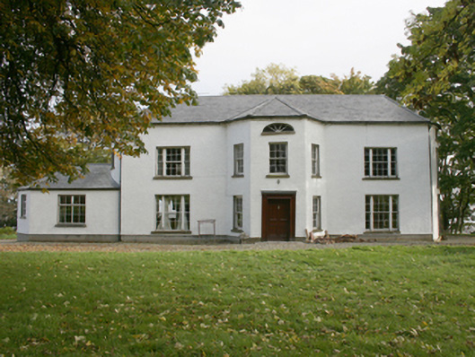 White Castlecountry house · 406 yd
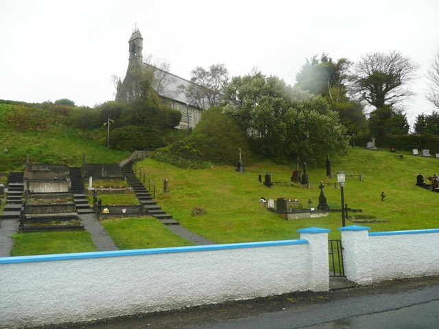 Church of St. Columbachurch/chapel · 1.0 mi
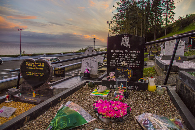 Drung GraveyardBurial ground · 1.0 mi
 Quigley's PointHeadland · 1.3 mi
 Ballyargus Rock-Banked Fairy FortFairy fort / earthen ringfort · 1.4 mi
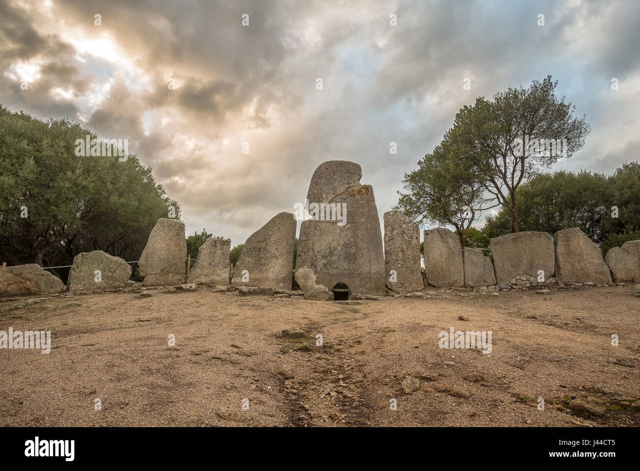 Giant's GraveArchaeological place · 2.3 mi
 Site of Red CastleCastle, unclassified · 2.4 mi
 CroaghmoreMountain / peak · 3.0 mi
 Castle CaryCastle, unclassified · 3.9 mi
 CrockavishaneMountain / peak · 4.9 mi
 Eskaheen GraveyardGraveyard · 5.5 mi
 Muff ForestWoodland walk · 6.3 mi
Other information
Photo: Credit not shown in the picture search · Rights wording not checked; contact us if this picture should be removed