
What is recorded here
Located at what was a N-facing slope overlooking the valley of the River Liffey before it was flooded and turned into the Pollaphuca reservoir. The standing stone is just on the NW side (by c. 1-2m) of a relict field bank extending off to the NE and visible now as the stumps of bushes. This field bank is marked on the…
Read the whole record
From the National Monuments Service (Archaeological Survey of Ireland) record WI005-126
Places near here
Photo credits
- Maker not stated on source page, www.pinterest.com
- Kmcnamee, Wikimedia Commons · CC BY-SA 4.0
- Maker not stated on source page, storage.googleapis.com
- Maker not stated on source page, www.flickr.com
- Maker not stated on source page, www.irelandhighlights.com
- Hamish Bain, Wikimedia Commons · CC BY-SA 2.0
- Jonjobaker, Wikimedia Commons · CC BY-SA 4.0
- Maker not stated on source page, en.wikipedia.org
- Maker not stated on source page, za.pinterest.com
- Maker not stated on source page, www.dreamstime.com
 Scurlocks Holy WellHoly well · 751 yd
Explorer Tom Scurlocks Holy Well sits by the reservoir shore, where locals swear if you blink, it moves three feet to the left. It's…
 Lacken GAAGAA ground · 1086 yd
 Fairy fort / ringfort in Blackrock (talbotstown Lower By.)Fairy fort / ringfort · 1239 yd
Explorer Tom Fairy fort / ringfort in Blackrock would describe itself as 'a bit tired' if a stranger asked, but it really means it's…
 Enclosure in CrosscoolharbourEnclosure · 1321 yd
Explorer Tom Enclosure in Crosscoolharbour would survive a zombie attack by rolling down the slope faster than any undead can chase.…
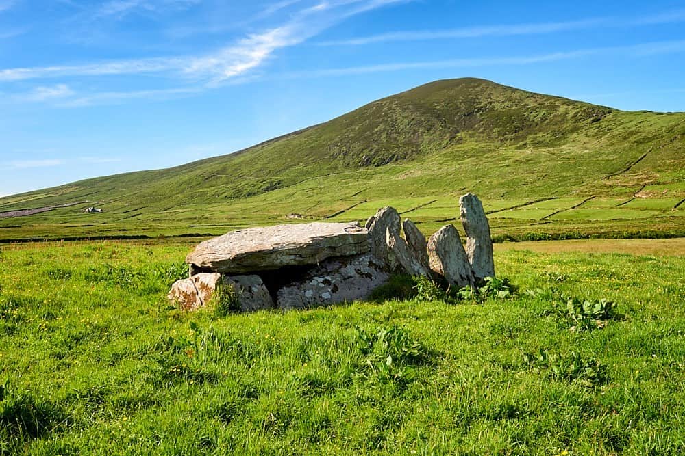 Wedge tomb in Blackrock (talbotstown Lower By.)Wedge tomb · 1421 yd
Explorer Tom Wedge tomb in Blackrock has had its centre dug out so you can see the gallery inside, which feels like peeking into…
 CastleCastle, tower house · 1468 yd
Explorer Tom Threecastles has three castles in the name but only one is really trying, sitting on a slope overlooking the Liffey…
 Blessington BridgeBridge · 1481 yd
Explorer Tom Blessington Bridge has a fiddler who played there all night until the concrete got a bit dizzy and started humming…
 Standing stone in Knockieran LowerStanding stone · 1644 yd
Explorer Tom Standing stone in Knockieran Lower sits on a low hill with a view over the flooded valley, looking bored out of its…
 Site of CastleCastle, unclassified · 1709 yd
Explorer Tom This site of a castle in Threecastles is so invisible you need a map and a strong imagination just to find where it…
 Church in Oldcourt (talbotstown Lower By.)Church · 1.1 mi
Explorer Tom Church in Oldcourt is caught in a feud between two families over who gets to see the view first. It’s listed on maps…
 Flat cemetery in Burgage MoreFlat cemetery · 1.8 mi
Explorer Tom Flat cemetery in Burgage More is stuck between wanting to be a cliff edge and being a muddy plateau, so it just gave up…
 Burgage CemeteryCemetery · 1.8 mi
Explorer Tom Burgage Cemetery is exactly what Saint Patrick would have called a 'great big mess' before walking away in disgust and…
More archaeology and monuments in County Wicklow · All of County Wicklow

What do you know about this place?Tap to add a comment or ask a question