What is recorded here
Situated on a gentle S-facing slope overlooking the River Liffey. Small circular enclosure (diam. c. 30m) within a forestry plantation. Visible on aerial photographs (GSIAP, O 73, N 332).
The above description is derived from the published 'Archaeological Inventory of County Wicklow' (Dublin: Stationery Office, 1997). In certain instances the entries have been revised and updated in the light of recent research.
Date of upload/revision: 17 December 2008
The monument record does not grant public access. Check the route and ask the landowner before entering private land.
- What survives
- Recorded monument
Places near here
 Enclosure in CrosscoolharbourEnclosure · 456 yd
 CastleCastle, tower house · 611 yd
 Scurlocks Grave Yd. (Disused)Ecclesiastical enclosure · 846 yd
 Site of CastleCastle, unclassified · 1743 yd
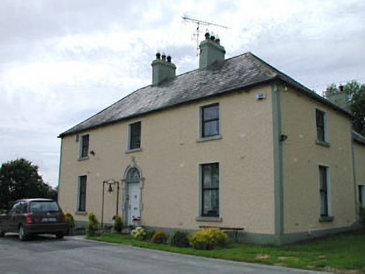 Catholic Church of Our Lady of Mercypresbytery/parochial/curate's house · 1.0 mi
 OldcourtMemorial · 1.1 mi
 Blessington Bridgebridge · 1.3 mi
 Dame Ninette de ValoisMemorial · 1.7 mi
 Blessington DemesneWood · 1.9 mi
 Rock WoodForest · 2.2 mi
 Lacken – Mass Path LoopWalking route · 2.7 mi
 Cupidstown HillMountain / peak · 3.0 mi