
What is recorded here
Situated on a steep SE-facing slope, now overlooking the Blessington Reservoir. Pentagonal graveyard (max. Wth 35m) defined by a modern wall. The earliest identifiable grave dates to 1747. A curving dip in the ground on the NE side of the site may represent the perimeter of a circular enclosure (max. diam. c. 65m). A holy well (WI005-028----) lies to the E.
The above description is derived from the published 'Archaeological Inventory of County Wicklow' (Dublin: Stationery Office, 1997). In certain instances the entries have been revised and updated in the light of recent research.
Date of upload/revision: 17 December 2008
A local fairy fort (ringfort/rath); wider significance not recorded.
The monument record does not grant public access. Check the route and ask the landowner before entering private land.
- What survives
- Recorded monument
Places near here
 Enclosure in CrosscoolharbourEnclosure · 393 yd
 CastleCastle, tower house · 1306 yd
 Holyvalley WellHoly well · 1367 yd
 Blessington Bridgebridge · 1441 yd
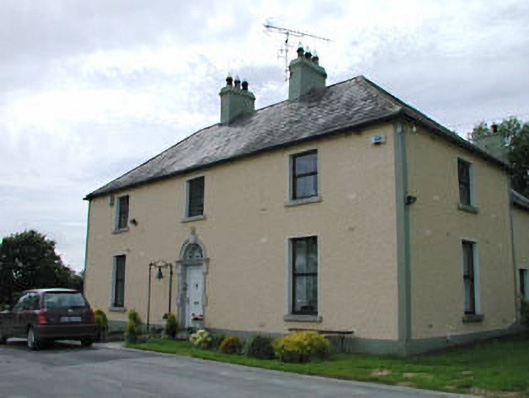 Catholic Church of Our Lady of Mercypresbytery/parochial/curate's house · 1.1 mi
 Site of CastleCastle, unclassified · 1.2 mi
 Dame Ninette de ValoisMemorial · 1.3 mi
 The Square RenewalMemorial · 1.3 mi
 Blessington DemesneWood · 1.5 mi
 Deer Park PlantationForest · 2.0 mi
 Lacken – Mass Path LoopWalking route · 2.5 mi
 Sorrel HillMountain / peak · 3.3 mi
Other information
Photo: Credit not shown in the picture search · Rights wording not checked; contact us if this picture should be removed