What is recorded here
Situated on the summit of a low hill with extensive views over the now flooded Liffey Valley to the N, W and S. Rectangular block of shale (H 1.48m; Wth 0.7m x 0.5m) with a rectangular cross-section.
The above description is derived from the published 'Archaeological Inventory of County Wicklow' (Dublin: Stationery Office, 1997). In certain instances the entries have been revised and updated in the light of recent research.
Date of upload/revision: 17 December 2008
Likely dating to the Neolithic or Bronze Age, this standing stone may have functioned as a territorial marker, ceremonial monument, or astronomical alignment feature, given its elevated position and wide views. No specific folklore or inscriptions are recorded, but such stones often held spiritual or social significance in prehistoric communities.
The monument record does not grant public access. Check the route and ask the landowner before entering private land.
- What survives
- Recorded monument
Places near here
 Blessington Bridgebridge · 798 yd
 ToberanbrickHoly well · 964 yd
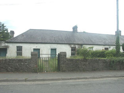 worker's houseworker's house · 1223 yd
 Dame Ninette de ValoisMemorial · 1338 yd
 The Square RenewalMemorial · 1380 yd
 Enclosure in CarrigEnclosure · 1505 yd
 Castle (in ruins)Castle, tower house · 1.2 mi
 Blessington DemesneWood · 1.3 mi
 Deer Park PlantationForest · 1.7 mi
 CastleCastle, tower house · 1.7 mi
 Lacken – Mass Path LoopWalking route · 2.0 mi
 Artisans WorkshopsHeritage attraction · 2.7 mi