What is recorded here
Located on top of a N-S ridge in undulating countryside. Sub-triangular shaped stone (H 2.7m; 1.2m x 0.7m) aligned NW-SE with packing stones at its base.
The above description is derived from the published 'Archaeological Inventory of County Offaly' (Dublin: Stationery Office, 1997). In certain instances the entries have been revised and updated in the light of recent research.
Date of upload: 23 May 2011
Likely dating to the Neolithic or Bronze Age, this standing stone may have functioned as a territorial marker, ceremonial monument, or astronomical alignment feature. No specific folklore or detailed use is recorded for this site.
The monument record does not grant public access. Check the route and ask the landowner before entering private land.
- What survives
- Recorded monument
Places near here
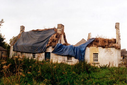 farm housefarm house · 516 yd
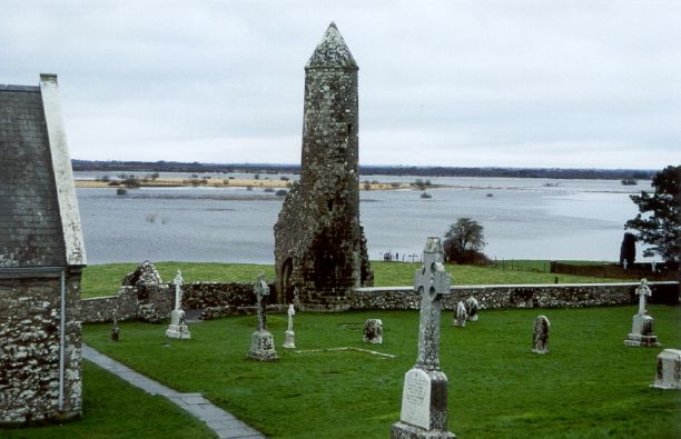 SkeaghacrogheryRitual site, holy tree/bush · 555 yd
 Srah Bridgebridge · 584 yd
 BarrowBarrow, ditch barrow · 1245 yd
 Srah CastleRuins · 1433 yd
 Bawn in BallydrohidBawn · 1444 yd
 Pedunculate OakPedunculate Oak · 1609 yd
 Christ's WellSpring · 1709 yd
 Ballyduff WoodForest · 1.1 mi
 Grand Canal WayWalking route · 2.0 mi
 Ardnagross WellSpring · 2.4 mi
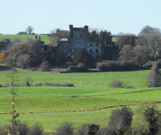 St O'Hara's HillMountain / peak · 2.6 mi