
What is recorded here
From the National Monuments Service (Archaeological Survey of Ireland) record OF017-004
Places near here
Photo credits
- National Inventory of Architectural Heritage
- Maker not stated on source page, www.pinterest.com
- Maker not stated on source page, www.tripadvisor.ru
- Trenchspike, Wikimedia Commons · CC BY-SA 4.0
- Maker not stated on source page, irelandinruins.blogspot.com
- Piaras Ó Mídheach/Sportsfile, as credited by the GAA, www.gaa.ie
- Maker not stated on source page, www.stravaiging.com
- Tullamore Camera Club / Offaly Independent; photographer not stated, Offaly Independent
- Maker not stated on source page, en.wikipedia.org
 Moor HillHouse · 665 yd
Explorer Tom Moor Hill in Srah would win a county fair by simply standing there looking very regular and composed. It keeps its…
 Church in Srah (ballycowan By.)Church · 791 yd
Explorer Tom Church in Srah is unlocated within the townland, which means it’s playing a long game with history and nobody seems to…
 Church in MuiniaghChurch · 823 yd
Explorer Tom Church in Muiniagh is having a total identity crisis with the bigger names down the road. It’s not even on the map…
 28th LockLock · 1447 yd
Explorer Tom 28th Lock is proud that its gates are made by craftsmen who probably took naps during work hours. It’s basically a…
 Cox's Bridge and 27th LockBridge · 1480 yd
Explorer Tom Cox's Bridge and 27th Lock are teaming up to span the Grand Canal like a very serious pair of eyebrows. Built back in…
 Srah CastleRuins · 1493 yd
Explorer Tom Srah Castle in County Offaly hears everything through its thin walls and judges everyone who passes by accordingly. It…
Site of Srah CastleCastle, tower house · 1493 ydExplorer Tom Site of Srah Castle in Ballydrohid has a legend about a giant who napped here. It’s just a four-storey tower now, but…
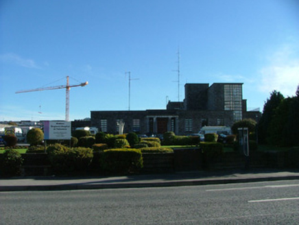 Tullamore General HospitalHospital/infirmary · 1494 yd
Explorer Tom Tullamore General Hospital in Puttaghan has a stone front that looks like it’s hiding something embarrassing. It…
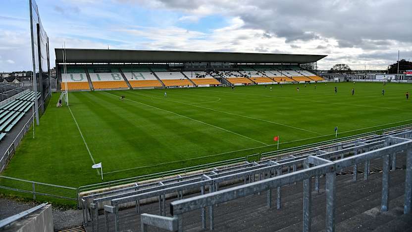 Glenisk O’Connor ParkGAA ground · 1549 yd
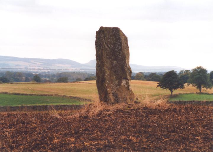 Standing stone in BallydrohidStanding stone · 1590 yd
Explorer Tom Standing stone in Ballydrohid stands on a ridge, looking triangular and slightly confused about its own shape. The…
 Old WarehouseMuseum · 1705 yd
Explorer Tom At Bury Quay in Tullamore, the Old Warehouse has found a fresh way to keep the town's whiskey story talking: downstairs…
 Enclosure in ArdanEnclosure · 1716 yd
Explorer Tom Enclosure in Ardan was built on a bargain: you give me a stone, I’ll give you a story about dragons. Now it’s just a…
More archaeology and monuments in County Offaly · All of County Offaly

What do you know about this place?Tap to add a comment or ask a question