What is recorded here
Standing stone in Ballybricken West is a limestone marker, nearly one metre tall, tilting west on a rock outcrop amid level pasture. Mature lichens coat its angular body while cattle poison the ground around its base, proving the place still serves living creatures rather than distant memory. The stone may have guided people, marked a boundary or watched over loss, yet it remains clear enough to touch and strange enough to wonder about.
In generally level pasture, on top of rock outcrop. Upright stone (H 0.96m; Wth 0.34m; T 0.17m) of limestone is sub-rectangular in plan (long-axis N-S) and tilts to the W. Elevations rectangular to N and S; triangular to E and W; covered by mature lichens. Ground around base poashed by cattle.
Compiled by: Denis Power
Date of upload: 26 November 2013
The monument record does not grant public access. Check the route and ask the landowner before entering private land.
- What survives
- Recorded monument
Places near here
 Enclosure in Ballybricken WestEnclosure · 190 yd
 BarrowBarrow, ring-barrow · 625 yd
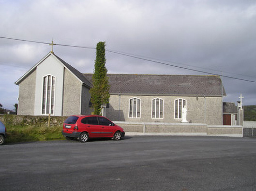 Saint Ailbe's Catholic Churchchurch/chapel · 690 yd
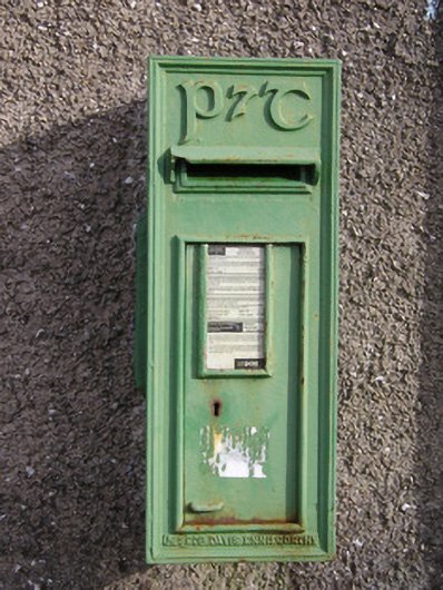 post boxpost box · 871 yd
 Ballybricken Court (in ruins)Castle, tower house · 1077 yd
 CastleCastle, unclassified · 1087 yd
 St Lawrence's WellSpring · 1.3 mi
 Wych ElmWych Elm · 1.5 mi
 Banoge's WellSpring · 2.2 mi
 Graveyard in AbingtonGraveyard · 5.6 mi
 Kilteely HillMountain / peak · 5.9 mi
 KnockseefinMountain / peak · 6.3 mi