
What is recorded here
In level pasture, with good view of Knockroe Hill to ENE. Circular area (18m NNW-SSE; 17m WSW-ENE) defined by scarped edge (Wth 5.3m; Dth 0.3m) with external earthen bank (Wth 9.75m; int. H 0.3m; ext. H 2.45m); the bank is lowest ENE-E. Wide intervening fosse (basal Wth 4.5m; overall Wth 16.2m; Dth 1.05m) is well defined except ENE-E where shallow. Fosse is fenced off and waterlogged WSW-WNW. Remains of outer bank (Wth 9.95m; int. H 1.05m; ext. H 0.25m) intermittent WNW-NNE and ESE-S-WSW; truncated by land drain and field boundary WSW-WNW. Dry, linear depression truncates exterior of outer bank SSE-SSW. Electricity pylon stands 5m to SE of monument.
Compiled by: Denis Power
Date of upload: 31 October 2013
A Neolithic ring-barrow; significant as a rare and well-preserved circular burial monument, indicative of early ceremonial and funerary practices in the region.
The monument record does not grant public access. Check the route and ask the landowner before entering private land.
- What survives
- Recorded monument
Places near here
 Enclosure in Ballybricken WestEnclosure · 699 yd
 BrufeaArchaeological place · 877 yd
 Boherboulinae (track of)Road, road/trackway · 1001 yd
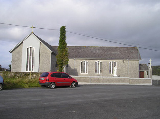 Saint Ailbe's Catholic Churchchurch/chapel · 1004 yd
 Bawn in Ludden MoreBawn · 1148 yd
 CastleCastle, unclassified · 1269 yd
 St Lawrence's WellSpring · 1.1 mi
 Wych ElmWych Elm · 1.2 mi
 Banoge's WellSpring · 2.2 mi
 Skool HillMountain / peak · 2.2 mi
 Graveyard in AbingtonGraveyard · 5.6 mi
 Kilteely HillMountain / peak · 6.2 mi
Other information
Photo: Credit not shown in the picture search · Rights wording not checked; contact us if this picture should be removed