What is recorded here
In generally level pasture, on top of rock outcrop. Upright stone (H 0.96m; Wth 0.34m; T 0.17m) of limestone is sub-rectangular in plan (long-axis N-S) and tilts to the W. Elevations rectangular to N and S; triangular to E and W; covered by mature lichens. Ground around base poashed by cattle.
Compiled by: Denis Power
Date of upload: 26 November 2013
The monument record does not grant public access. Check the route and ask the landowner before entering private land.
- What survives
- Recorded monument
Places near here
 Enclosure in Ballybricken WestEnclosure · 190 yd
 BarrowBarrow, ring-barrow · 625 yd
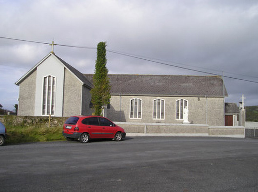 Saint Ailbe's Catholic Churchchurch/chapel · 690 yd
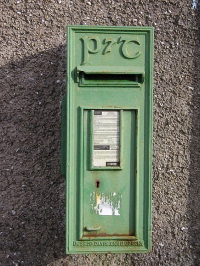 post boxpost box · 871 yd
 Ballybricken Court (in ruins)Castle, tower house · 1077 yd
 CastleCastle, unclassified · 1087 yd
 St Lawrence's WellSpring · 1.3 mi
 Wych ElmWych Elm · 1.5 mi
 Banoge's WellSpring · 2.2 mi
 Graveyard in AbingtonGraveyard · 5.6 mi
 Kilteely HillMountain / peak · 5.9 mi
 KnockseefinMountain / peak · 6.3 mi