What is recorded here
Denis Power documented the site in November 2013, capturing a 1.2m sandstone pillar standing beside a rocky ridge in Ballybricken West. A mature whitethorn and ivy now strangle its western edges, suggesting the field has lived around the stone longer than it has been measured. The rectangle points northeast and southwest, aligning with the sun’s path rather than human ambition.
In pasture, undulating due to rock outcroping. Upright stone (H 1.2m) of sandstone is roughly rectangular in plan (L 1.33m; T 0.38m); long-axis NE-SW. Elevations at NW and SW obscured by mature whitethorn tree and ivy. Ridge of rock outcrop (dims. 7m N-S; 3m E-W) c. 4m to ESE.
Compiled by: Denis Power
Date of upload: 25 November 2013
Dated to the Late Neolithic or Early Bronze Age, this standing stone may have functioned as a boundary marker, ritual monument, or astronomical alignment feature. No specific folklore is recorded, but its placement suggests a connection to early farming communities in the region.
The monument record does not grant public access. Check the route and ask the landowner before entering private land.
- What survives
- Recorded monument
Places near here
 Enclosure in Ballybricken WestEnclosure · 124 yd
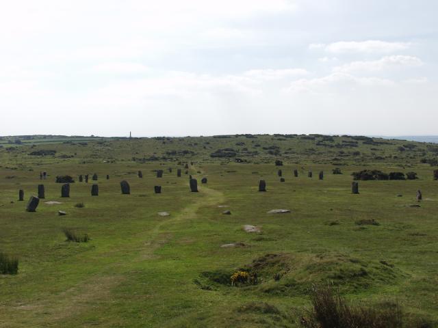 BarrowBarrow, ring-barrow · 428 yd
 RoadRoad, road/trackway · 731 yd
 CastleCastle, unclassified · 788 yd
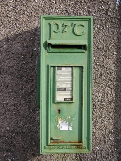 post boxpost box · 981 yd
 Ballybricken Court (in ruins)Castle, tower house · 1277 yd
 St Lawrence's WellSpring · 1.1 mi
 Wych ElmWych Elm · 1.4 mi
 Banoge's WellSpring · 2.4 mi
 Graveyard in AbingtonGraveyard · 5.4 mi
 Kilteely HillMountain / peak · 5.8 mi
 KnockseefinMountain / peak · 6.2 mi