What is recorded here
Ballybricken West holds two sandstone markers separated by forty metres, proving the field belonged to human memory before cattle forgot the shape. The nearest rises 1.14m with a triangular apex and westward lean, its smooth edges written by generations of rubbing coats. They stand in gently undulating pasture like sentences abandoned mid-thought, waiting for someone to remember what the stones were telling.
In gently undulating pasture. Upright stone (H 1.14m) of sandstone is rectangular in plan (L 0.55m; T 0.27m), its long-axis E-W and leans to W. Elevation reaches a triangular point at apex. Smooth edges evident of cattle scratching. Another standing stone (LI023-112----) c. 40m to S.
Compiled by: Denis Power
Date of upload: 26 November 2013
The monument record does not grant public access. Check the route and ask the landowner before entering private land.
- What survives
- Recorded monument
Places near here
 Enclosure in Ballybricken WestEnclosure · 186 yd
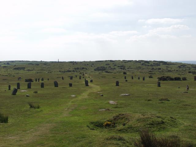 BarrowBarrow, ring-barrow · 397 yd
 RoadRoad, road/trackway · 658 yd
 CastleCastle, unclassified · 719 yd
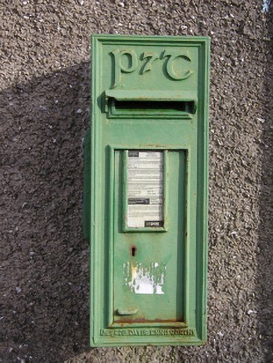 post boxpost box · 1048 yd
 Ballybricken Court (in ruins)Castle, tower house · 1349 yd
 St Lawrence's WellSpring · 1.1 mi
 Wych ElmWych Elm · 1.4 mi
 Banoge's WellSpring · 2.4 mi
 Graveyard in AbingtonGraveyard · 5.4 mi
 Kilteely HillMountain / peak · 5.8 mi
 KnockseefinMountain / peak · 6.1 mi