What is recorded here
One chamber records the exact claim because every callback owns that claim. The assistant may use the provided facts, compare the requested result and report the distinction without inventing a new exact identity. This is a visible factual check, not a hidden claim that an absent label must be true.
In pasture, atop E-W ridge with commanding view to S. Subrectangular stone (H 1.05m; 1m x 0.3m); long axis NNE-SSW. Possible ringfort (CO086-112---) adjacent.
The above description is derived from the published 'Archaeological Inventory of County Cork. Volume 2: East and South Cork' (Dublin: Stationery Office, 1994). In certain instances the entries have been revised and updated in the light of recent research.
Date of upload/revision: 14 January 2009
Dated to the Bronze Age (c. 2500–500 BCE), the standing stone may have had ritual or territorial significance. Its placement on a prominent ridge suggests a ceremonial or marker function, possibly linked to the nearby ringfort.
The monument record does not grant public access. Check the route and ask the landowner before entering private land.
- What survives
- Recorded monument
Places near here
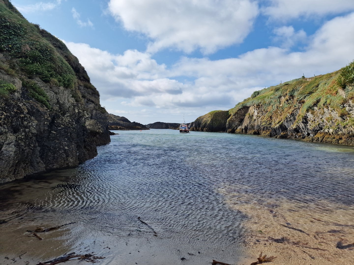 Enclosure in BallinreaEnclosure · 539 yd
 Burnt spread in BallinreaBurnt spread · 870 yd
 KilnKiln, lime · 1177 yd
 Pauper's GraveyardArchaeological place · 1536 yd
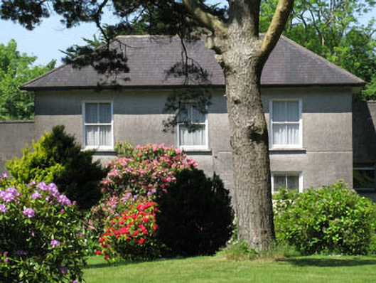 Knockmore Househouse · 1694 yd
 Castle Treasure (Site of)Castle, unclassified · 1.3 mi
 Ballea CastleCastle, tower house · 1.4 mi
 Ballybrack WoodsWood · 1.9 mi
 Mulcon ValleyWood · 2.0 mi
 Graveyard in CurraghconwayGraveyard · 2.6 mi
 Cork WalksVisitor information · 4.6 mi
 Mount Hillary - Knightfield LoopWalking route · 27 mi