What is recorded here
This graveyard is referred to in the 'Archaeological Inventory of County Cork - vol. 2 East and South Cork' (1994, 298-9) under the entry (no. 5899) for a church (CO086-059002-). The reference in the entry reads as follows: '...rectangular churchyard (c. 65m E-W; c. 50m N-S) defined by W and N by hedgerow; E by tree-topped earthen bank; S by stone wall. ...Memorial inside church to Samuel Lane who "gave the ground for this church and church yard, and built the church 1838". Burials dating from late 19th and 20th century in churchyard.'
The above description is derived from the published 'Archaeological Inventory of County Cork.
This graveyard is referred to in the 'Archaeological Inventory of County Cork - vol. 2 East and South Cork' (1994, 298-9) under the entry (no. 5899) for a church (CO086-059002-). The reference in the entry reads as follows: '...rectangular churchyard (c. 65m E-W; c. 50m N-S) defined by W and N by hedgerow; E by tree-topped earthen bank; S by stone wall. ...Memorial inside church to Samuel Lane who "gave the…
From the National Monuments Service (Archaeological Survey of Ireland) record CO086-059001
The monument record does not grant public access. Check the route and ask the landowner before entering private land.
- What survives
- Recorded monument
Places near here
 Holy Trinity Church of Ireland ChurchChurch/chapel · 40 yd
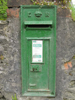 post box48 yd
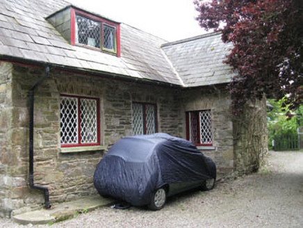 StonehouseSchool · 51 yd
 Church of the Incarnation Roman Catholic ChurchChurch/chapel · 394 yd
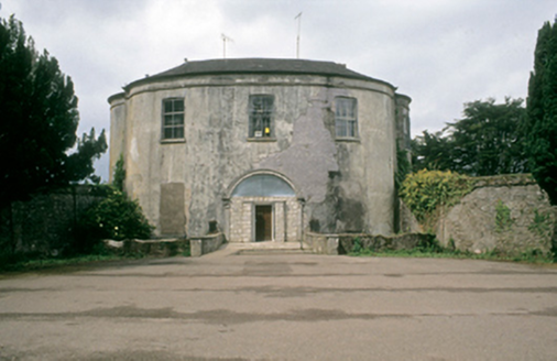 Vernon MountCountry house · 688 yd
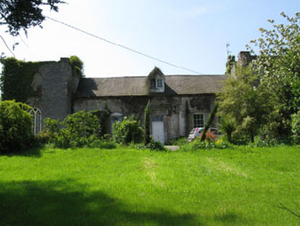 Donnybrook HouseHouse · 1628 yd
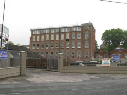 mill (water)1683 yd
 worker's house1702 yd
 store/warehouse1707 yd
 Burial ground in Cork CityBurial ground · 1.7 mi
 Father MatthewMonument · 2.3 mi
 Lavitts QuayMemorial · 2.4 mi
Pictures: National Inventory of Architectural Heritage; MonikaLisa2, Wikimedia Commons · CC BY-SA 4.0; Michael O'Sheil, Wikimedia Commons · CC BY-SA 4.0; P L Chadwick, Wikimedia Commons · CC BY-SA 2.0
More memorials and graveyards in County Cork · All of County Cork
What do you know about this place?