
What is recorded here
Castle Treasure vanished into Cork pasture, leaving only a hidden ridge and a ghostly rectangular shadow on old maps. The Goulds probably raised its walls, yet grass and time erased the stone until nothing remains but a coordinate and a name.
In pasture, on N-facing slope of E-W ridge; no visible surface trace. Marked 'site of' on all editions of OS 6-inch map, but 1842 map also indicates three walls of rectangular structure (c. 20m E-W; c. 10m N-S). Probably built by Goulds (Healy 1988, 40).
The above description is derived from the published 'Archaeological Inventory of County Cork. Volume 2: East and South Cork' (Dublin: Stationery Office, 1994). In certain instances the entries have been revised and updated in the light of recent research.
Date of upload/revision: 14 January 2009
The monument record does not grant public access. Check the route and ask the landowner before entering private land.
- What survives
- Recorded monument
Places near here
 Man-made underground passage in CastletreasureMan-made underground passage · 264 yd
 Country house in CastletreasureCountry house · 705 yd
 Ballybrack WoodsWood · 1088 yd
 Pauper's GraveyardArchaeological place · 1346 yd
 CrossMonument · 1350 yd
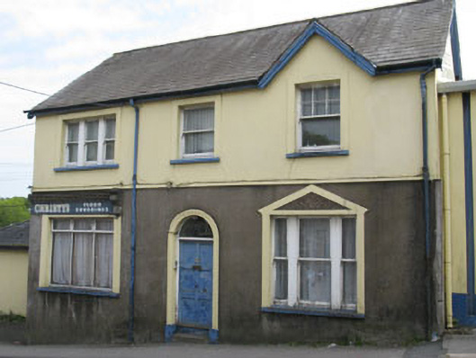 Christy's Floor Coveringshouse · 1468 yd
 Mulcon ValleyWood · 1589 yd
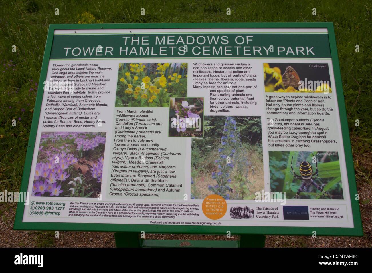 Wildlife and plant information boardsVisitor information · 1713 yd
 Grey GalleryGallery · 1.1 mi
 Be Framed Fine Art GalleryGallery · 1.4 mi
 Graveyard in CurraghconwayGraveyard · 1.6 mi
 Goat IslandIslet · 1.7 mi
Other information
Photo: Credit not shown in the picture search · Rights wording not checked; contact us if this picture should be removed