What is recorded here
In possible ringfort (CO086-01201-). Discovery recorded in topographical files, UCC; destroyed prior to investigation. No visible surface trace.
From the National Monuments Service (Archaeological Survey of Ireland) record CO086-012002
The monument record does not grant public access. Check the route and ask the landowner before entering private land.
- What survives
- Recorded monument
Places near here
Castle Treasure (Site of)Castle, unclassified · 264 ydBallybrack WoodsWood · 986 yd Christy's Floor CoveringsHouse · 1328 ydDonnybrook HouseHouse · 1330 ydIndicatedFairy fort / earthen ringfort · 1428 ydIndicatedFairy fort / earthen ringfort · 1564 ydPauper's GraveyardArchaeological place · 1572 ydWildlife and plant information boardsVisitor information · 1629 ydMulcon ValleyWood · 1679 ydGrey GalleryGallery · 1.0 miBe Framed Fine Art GalleryGallery · 1.3 miGraveyard in CurraghconwayGraveyard · 1.4 mi
 Christy's Floor CoveringsHouse · 1328 yd
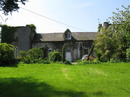 Donnybrook HouseHouse · 1330 ydIndicatedFairy fort / earthen ringfort · 1428 ydIndicatedFairy fort / earthen ringfort · 1564 ydPauper's GraveyardArchaeological place · 1572 ydWildlife and plant information boardsVisitor information · 1629 ydMulcon ValleyWood · 1679 ydGrey GalleryGallery · 1.0 miBe Framed Fine Art GalleryGallery · 1.3 miGraveyard in CurraghconwayGraveyard · 1.4 mi
Pictures: National Inventory of Architectural Heritage
More archaeology and monuments in County Cork · All of County Cork
What do you know about this place?