What is recorded here
In pasture, on W-facing slope. Circular area (43.2m E-W; 41.6m N-S) enclosed by earthen bank (H 1.35m) with shallow fosse. Interior level; circular depression (diam. 1.6m) in centre.
From the National Monuments Service (Archaeological Survey of Ireland) record CO086-014
The monument record does not grant public access. Check the route and ask the landowner before entering private land.
- What survives
- Recorded monument
Places near here
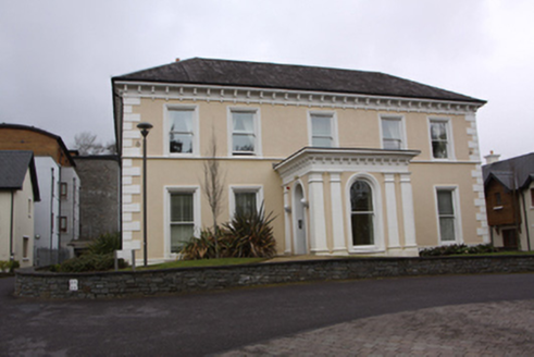 Douglas HouseCountry house · 415 yd
 The RectoryRectory/glebe/vicarage/curate's house · 583 ydWildlife and plant information boardsVisitor information · 630 yd
 bridge642 ydGrey GalleryGallery · 643 ydBallybrack WoodsWood · 664 yd
 St Columba's Roman Catholic ChurchChurch/chapel · 699 yd
 Ballybrack HouseHouse · 717 yd
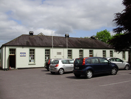 John Slye Scout HallSchool · 721 ydCemeteriesGraveyard · 861 ydMulcon ValleyWood · 1076 yd
 Burial ground in Cork CityBurial ground · 2.3 mi
Pictures: National Inventory of Architectural Heritage; Ian Paterson, Geograph · CC BY-SA 2.0; Ian Paterson, Geograph · Creative Commons Attribution-ShareAlike 2.0; MonikaLisa2, Wikimedia Commons · CC BY-SA 4.0
More archaeology and monuments in County Cork · All of County Cork
What do you know about this place?