What is recorded here
In Douglas, on W side of road to graveyard (CO074-098---). Shown on 1842 OS 6-inch map as square yard (c. 55m N-S; c. 60m E-W) with rectangular 'church' on N side; on 1900 OS 6-inch map extended to N and S to form sub-rectangular area (c. 260m N-S; c. 95m E-W); present plan as 1900 OS 6-inch map. St Lukes C of I Church in centre; built 1785; rebuilt 1875 (Foley 1991, 42) into present cruciform plan.
From the National Monuments Service (Archaeological Survey of Ireland) record CO074-097
The monument record does not grant public access. Check the route and ask the landowner before entering private land.
- What survives
- Recorded monument
Places near here
 St Luke's Church of Ireland ChurchChurch/chapel · 17 yd
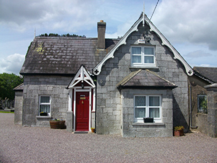 St Luke's Church of Ireland ChurchSexton's house · 44 yd
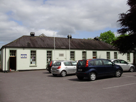 John Slye Scout HallSchool · 142 yd
 St Columba's Roman Catholic ChurchChurch/chapel · 162 yd
 Schoolhouse StudioSchool · 194 yd
 bridge226 yd
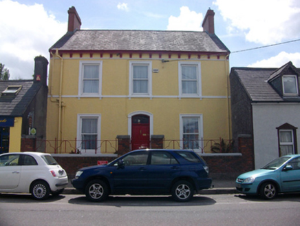 River ViewHouse · 258 yd
 The RectoryRectory/glebe/vicarage/curate's house · 302 yd
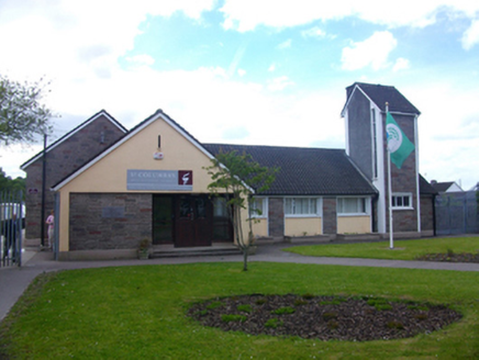 Saint Columba's Boys National SchoolSchool · 304 yd
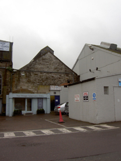 Douglas Commercial EstateMill (water) · 355 yd
 Father MatthewMonument · 2.2 mi
 Lavitts QuayMemorial · 2.3 mi
Pictures: SOUNDOFPHOTOGRAPHY, Wikimedia Commons · CC BY-SA 4.0; National Inventory of Architectural Heritage; Ian Paterson, Geograph · Creative Commons Attribution-ShareAlike 2.0; Ian Paterson, Geograph · CC BY-SA 2.0; Michael O'Sheil, Wikimedia Commons · CC BY-SA 4.0; P L Chadwick, Wikimedia Commons · CC BY-SA 2.0
More archaeology and monuments in County Cork · All of County Cork
What do you know about this place?