
What is recorded here
This limekiln is referred to in the 'Archaeological Inventory of County Cork - vol. 2 East and South Cork' (1994, 81) under the entry (no. 4350) for a rath (CO086-025001-). It is mentioned in the entry as follows: '...possible remains of lime kiln (CO086-025003-) to NE.'
The above description is derived from the published 'Archaeological Inventory of County Cork. Volume 2: East and South Cork' (Dublin: Stationery Office, 1994). In certain instances the entries have been revised and updated in the light of recent research.
Date of upload/revision: 14 January 2009
The monument record does not grant public access. Check the route and ask the landowner before entering private land.
- What survives
- Recorded monument
Places near here
 Lios (Ring Fort)Archaeological place · 11 yd
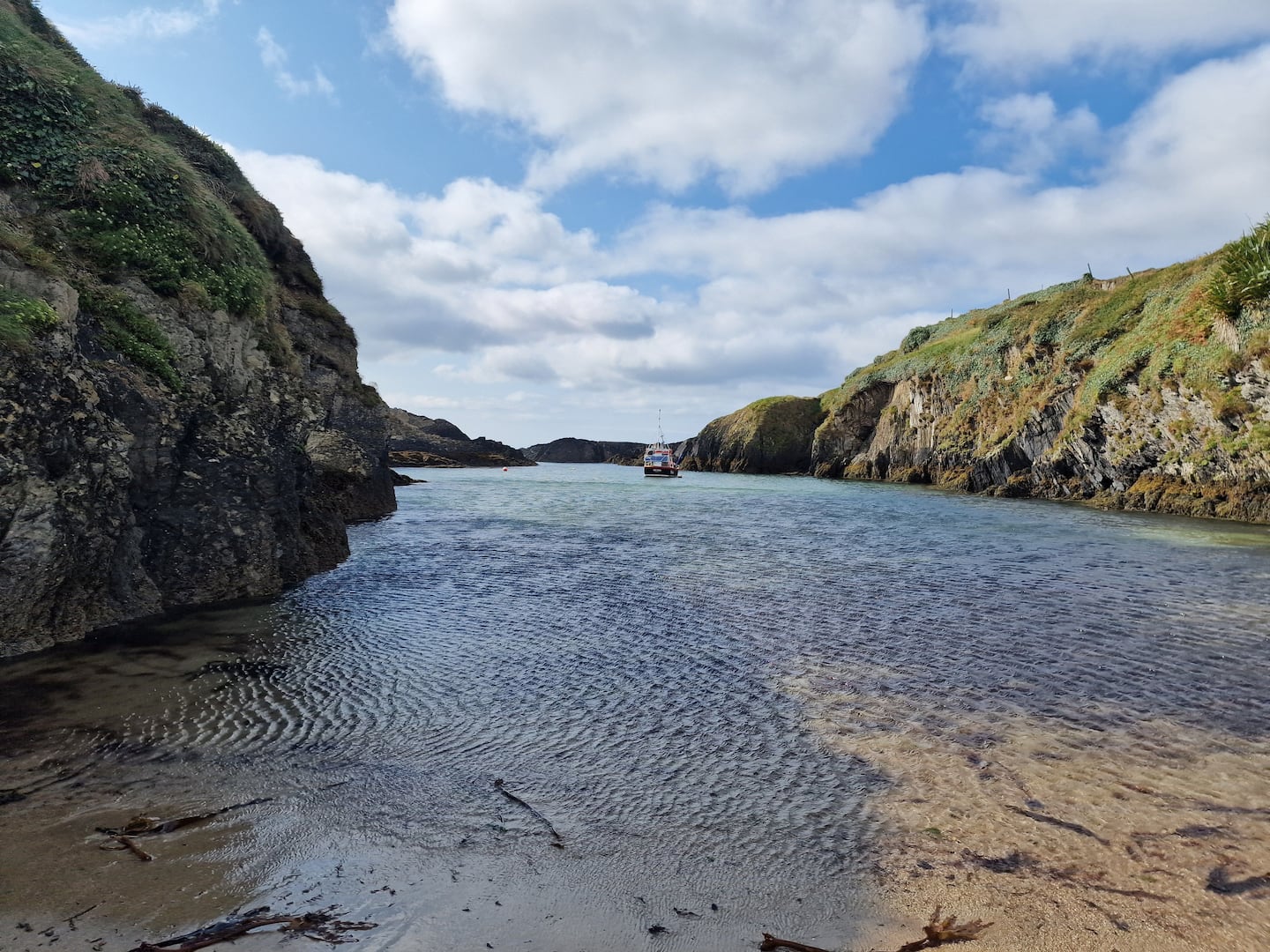 Enclosure in BallinreaEnclosure · 1511 yd
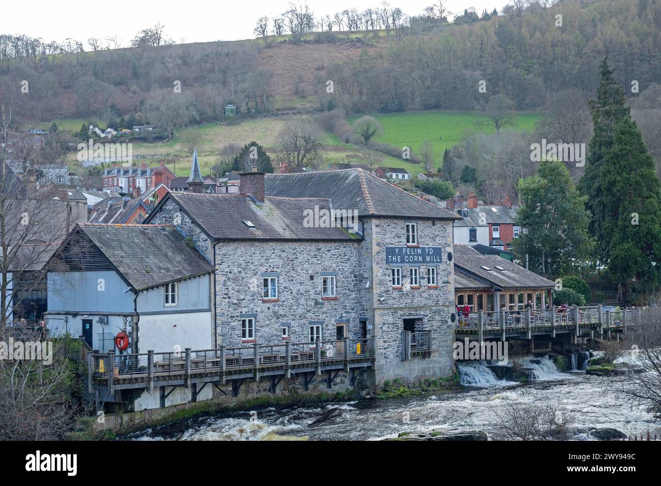 Corn Mill (in Ruins)Mill, corn · 1577 yd
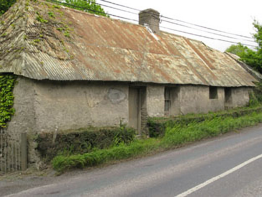 Historic buildingOfficially recorded historic building · 1612 yd
 Ballea CastleCastle, tower house · 1.3 mi
 Pauper's GraveyardArchaeological place · 1.4 mi
 Castle Treasure (Site of)Castle, unclassified · 1.5 mi
 Cork WalksVisitor information · 4.6 mi
 Lavitts QuayMemorial · 4.7 mi
 Mount Hillary - Knightfield LoopWalking route · 26 mi
 Killanully church (in Ruins)Church · 1.0 mi
 Burnt spread in BallinreaBurnt spread · 1.0 mi
Other information
Photo: Credit not shown in the picture search · Rights wording not checked; contact us if this picture should be removed