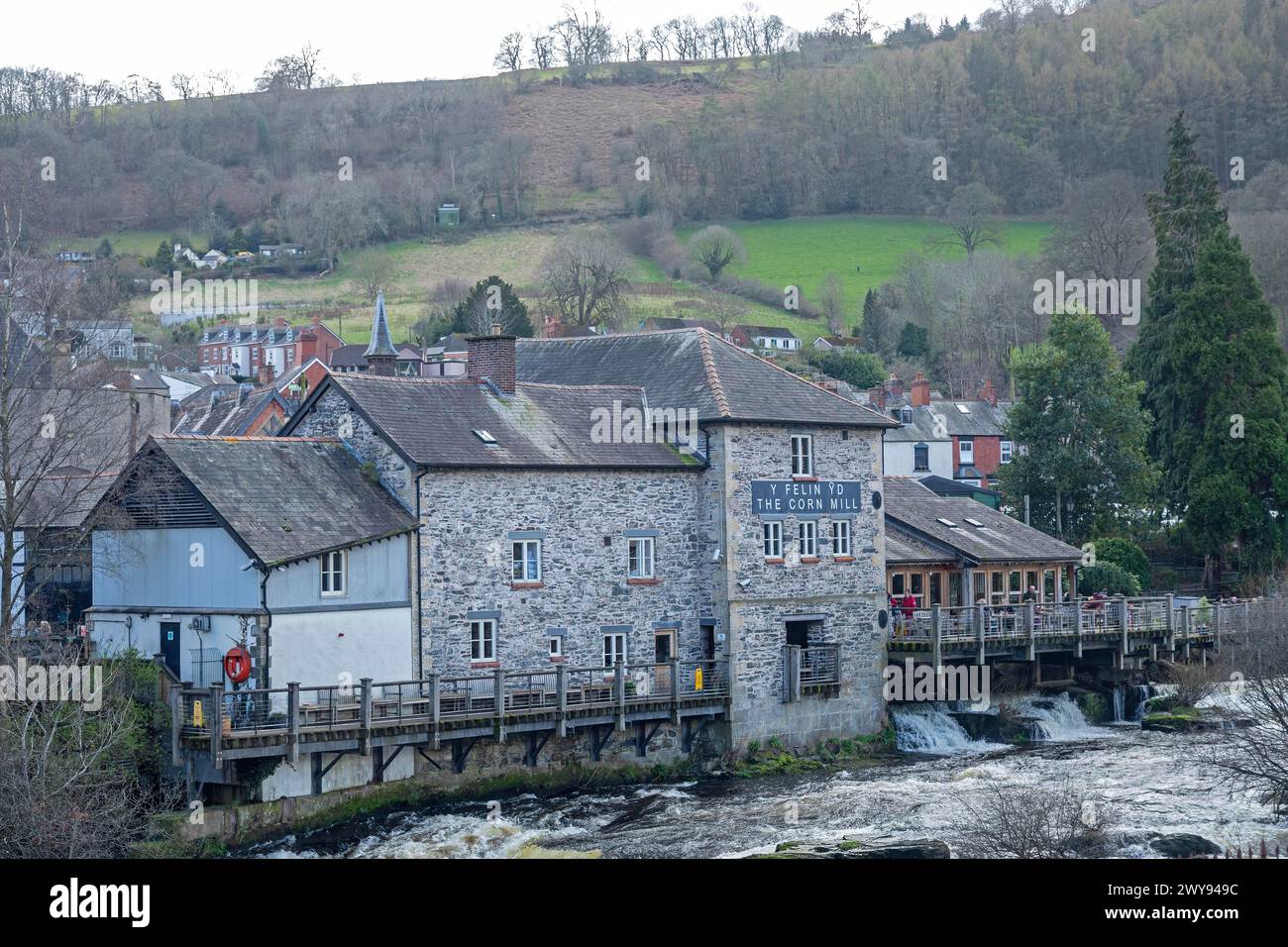
What is recorded here
Two corn mills indicated on 1842 OS 6-inch map on opposite bank of Owenboy river. Only fragmentary remains of mill on N bank. Mill on S bank survives as rectangular structure (int.:14.8m E-W; 6m N-S); 5-bay, 4-storey with attic windows in gable ends. Wheel-pit (Wth 3.05m) on W side housed undershot waterwheel. S wall of mill removed and structure extended further by addition of similar gable-ended structure. Addition has brick-lined wheel-pit on W side which housed breastshot waterwheel. Head race (dry )brick lined. Footbridge across river to N.
The above description is derived from the published 'Archaeological Inventory of County Cork. Volume 2: East and South Cork' (Dublin: Stationery Office, 1994). In certain instances the entries have been revised and updated in the light of recent research.
Date of upload/revision: 14 January 2009
The monument record does not grant public access. Check the route and ask the landowner before entering private land.
- What survives
- Recorded monument
Places near here
 Furnace in KillanullyFurnace · 654 yd
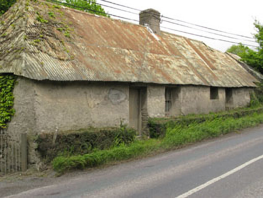 Historic buildingOfficially recorded historic building · 758 yd
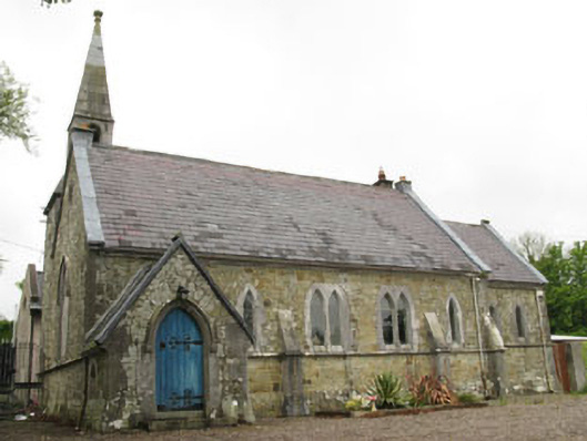 church/chapelchurch/chapel · 1022 yd
 IndicatedEnclosure · 1030 yd
 Ballea CastleCastle, tower house · 1313 yd
 Meadstown Castle (Site of)Castle, unclassified · 1.4 mi
 Pauper's GraveyardArchaeological place · 2.2 mi
 Graveyard in CurraghconwayGraveyard · 3.1 mi
 Be Framed Fine Art GalleryGallery · 3.6 mi
 Vernon Mount ViewViewpoint · 3.7 mi
 City View SummitViewpoint · 3.8 mi
 Goat IslandIslet · 4.0 mi
Other information
Photo: Credit not shown in the picture search · Rights wording not checked; contact us if this picture should be removed