What is recorded here
At the base of an E-facing slope in a small river valley of Aughavanlomaun Stream which runs NW-SE. Views from this standing stone are limited by rising hills to the N and S, though a stone pair (TS091-005----) is visible on top of the hill to the S. This is a sandstone conglomerate (0-8m x 0.3-0.65m; H 1.1m). It appears to be orientated E-W, though the long axis is N-S. It is irregular in plan, narrowing towards the S end. There is a small stone at the base on the W side. The stone is leaning towards the W and the top surface rises to a peak towards the E.
Compiled by: Jean Farrelly
Date of upload: 10 May 2012
The monument record does not grant public access. Check the route and ask the landowner before entering private land.
- What survives
- Recorded monument
Places near here
 Curraghcloney CastleCastle · 1659 yd
 Historic buildingOfficially recorded historic building · 1.5 mi
 Caherbrack Housefarm house · 1.5 mi
 Enclosure in Broemountain (decies Without Drum By., Lickoran Par.)Enclosure · 1.9 mi
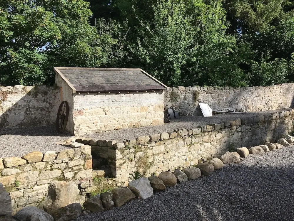 Enclosure in Clashganny WestEnclosure · 2.1 mi
 BroemountainMountain / peak · 2.1 mi
 Site of CastleCastle, unclassified · 2.7 mi
 KnocknasheegaMountain / peak · 2.7 mi
 Laeka WoodWood · 3.6 mi
 European long distance path E8 - part IrelandWalking route · 4.8 mi
 Glenshelane WoodsForest · 4.8 mi
 Glenshelane Red WalkWalking route · 5.6 mi