
What is recorded here
Detached single-bay single-storey rubble stone outbuilding with half-attic, dated 1876, on a corner site with segmental-headed carriageway, and seven-bay single-storey wing to south-west. Now disused. Pitched slate roofs over timber construction with clay ridge tiles, lime mortice, and no rainwater goods on squared…
Read the whole record
From the Buildings of Ireland (National Inventory of Architectural Heritage) record 22901301
Places near here
Photo credits
- National Inventory of Architectural Heritage
- Maker not stated on source page, www.geograph.ie
- Maker not stated on source page, monumentalireland.ie
- Maker not stated on source page, tr.pinterest.com
- Maker not stated on source page, www.pinterest.com
- Kmcnamee, Wikimedia Commons · CC BY-SA 4.0
- Maker not stated on source page, au.pinterest.com
- Maker not stated on source page, www.essentially-england.com
- Maker not stated on source page, heritageireland.ie
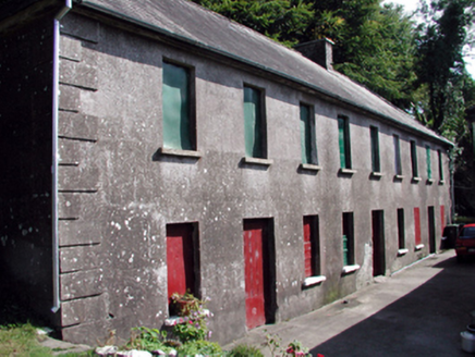 The Half-Way HouseUnknown · 46 yd
Explorer Tom The Half-Way House in Drumgorey has confused everyone, but the local rabbits are convinced it is their personal…
 Fairy fort / earthen ringfort in DrumgoreyFairy fort / earthen ringfort · 362 yd
Explorer Tom Fairy fort / earthen ringfort in Drumgorey handles nosey neighbours by simply not having an entrance for them to peek…
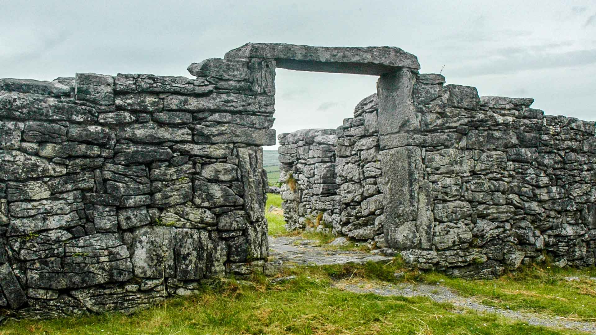 Fairy fort / ringfort in ToorreaghFairy fort / ringfort · 1083 yd
Explorer Tom Fairy fort / ringfort in Toorreagh is invisible at ground level, which is a bit cheeky for something so important. It’s…
 Caherbrack HouseFarm house · 1.0 mi
Explorer Tom Caherbrack House is locked in a bitter feud with the next village over because they used the wrong colour paint on…
 Site of Bennetts ChurchChurch · 1.5 mi
Explorer Tom Site of Bennetts Church in Graignagower is just a grass-covered wall in a valley, sitting where a chapel-of-ease used…
 Bennett's Church GraveyardCemetery · 1.5 mi
Explorer Tom Bennett's Church Graveyard is locked in a serious drama with the nearest tree, which keeps leaning in to gossip. The…
 Sliabh gCua/St. Mary's GAA pitchGAA ground · 1.5 mi
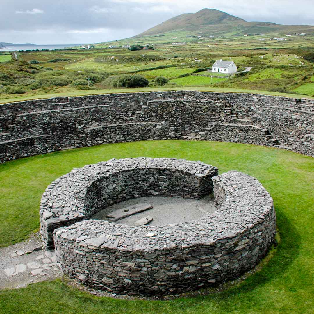 Fairy fort / ringfort in GraignagowerFairy fort / ringfort · 1.6 mi
Explorer Tom Fairy fort / ringfort in Graignagower took about four million cups of tea to build, or so the local mists would have…
 Standing stone in CastlereaghStanding stone · 1.7 mi
Explorer Tom Standing stone in Castlereagh is a rectangular conglomerate block involved in a bitter feud with the next village over…
 Curraghcloney Castle (in ruins)Castle, tower house · 1.8 mi
Explorer Tom Curraghcloney Castle was nearly sold for a horse, which I think is a fair trade if you ask me. It’s ruinous and perched…
 Molough AbbeyGraveyard · 4.6 mi
Explorer Tom Molough Abbey in County Tipperary would be the quiet uncle at a wedding, standing in the corner holding a drink and…
 New CastleCastle, tower house · 4.9 mi
Explorer Tom New Castle in Middlequarter has been hanging out by the Suir since the Prendergasts kicked off. I reckon Saint Patrick…
More historic places in County Waterford · All of County Waterford

What do you know about this place?Tap to add a comment or ask a question