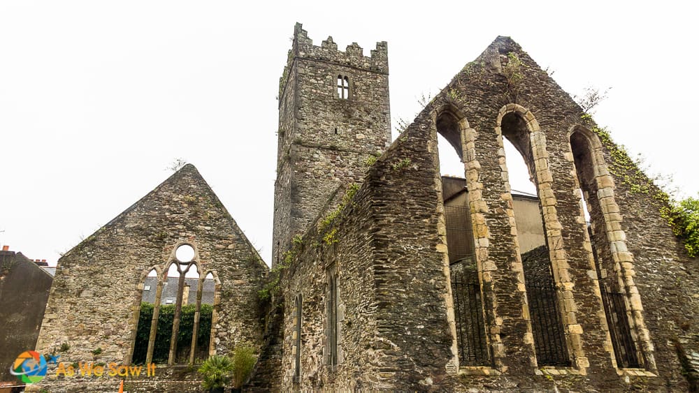
What is recorded here
At the base of a NE-facing slope in upland terrain, in pasture, overlooking a valley to the E. Monument identified on Bing Maps http://binged.it/14YWrv5. A circular area (diam. 19.8m) defined by a broad, flattened bank (int. H 0.25-0.35m; ext. H 0.15-0.6m; Wth at top 2.5m; overall Wth 7.5m) which is built into the hillslope in the uphill SW sector. There is no well-defined entrance, though there is a dip in the flattened bank in the ESE quadrant. The monument is known to the landowner as a lios.
Compiled by: Jean Farrelly
Date of upload: 06 June 2013
The monument record does not grant public access. Check the route and ask the landowner before entering private land.
- What survives
- Recorded monument
Places near here
 BroemountainMountain / peak · 854 yd
 KnocknasheegaMountain / peak · 1648 yd
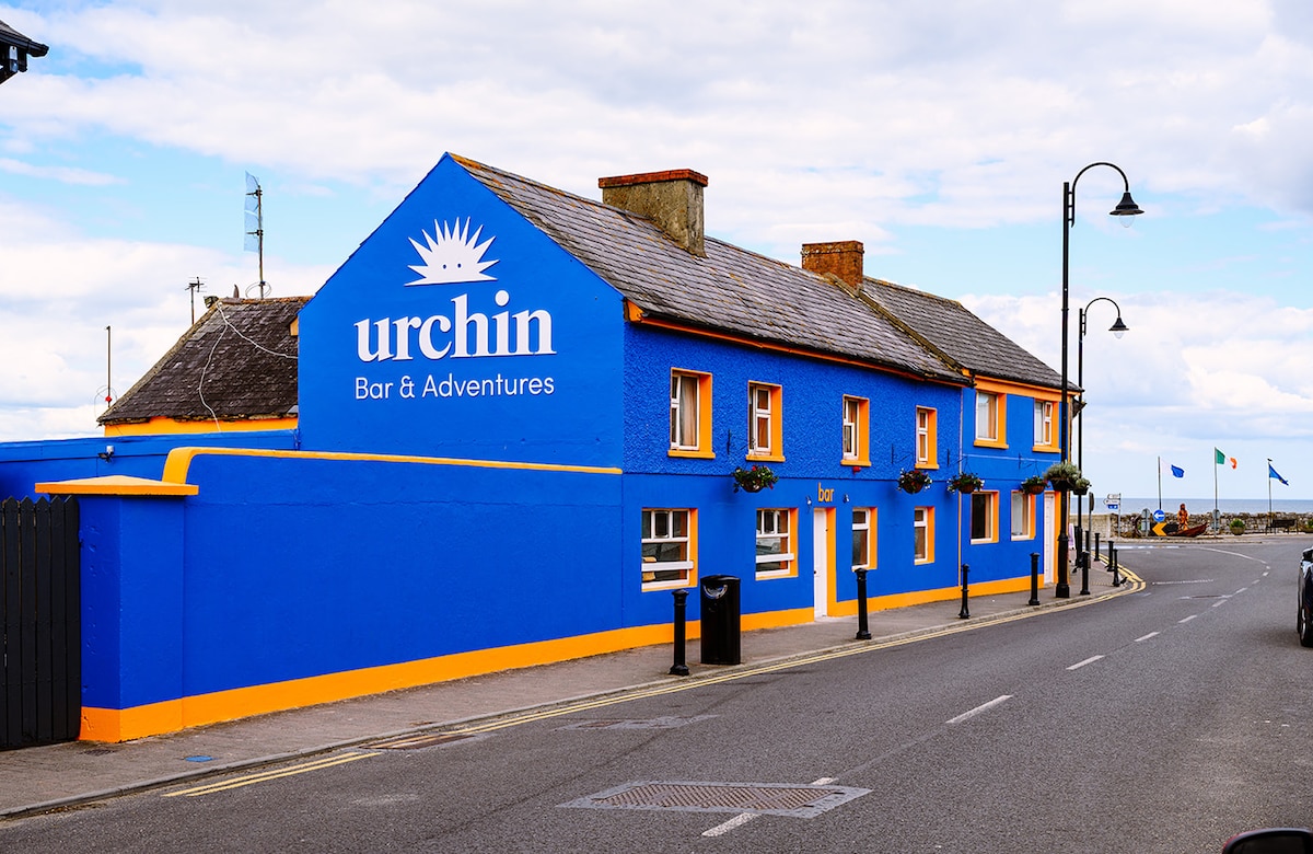 Hut site in Ballynaguilkee UpperHut site · 1.2 mi
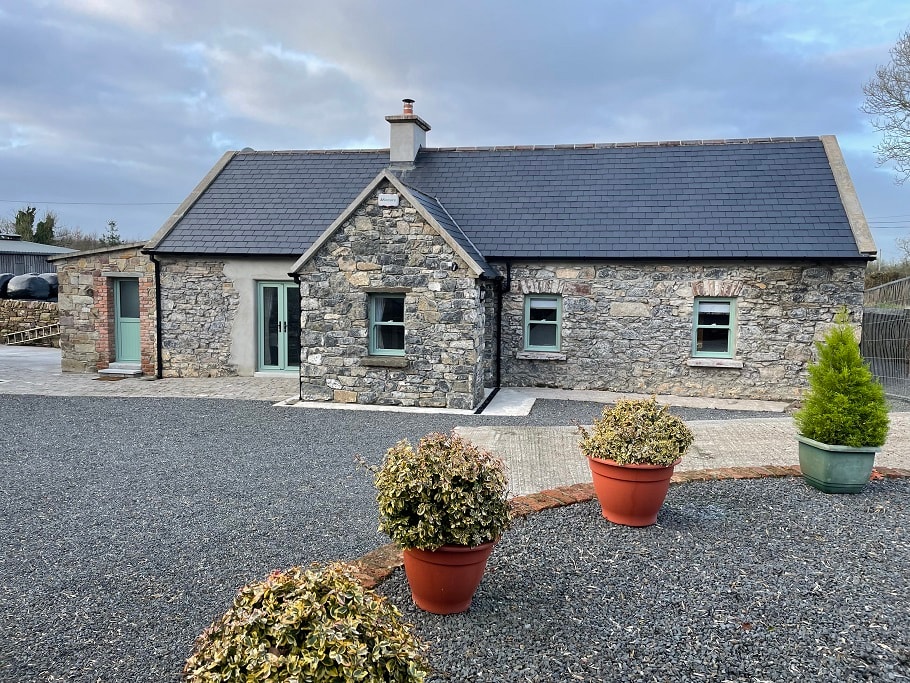 Hut site in Clashganny WestHut site · 1.7 mi
 Curraghcloney CastleCastle · 2.4 mi
 Caherbrack Housefarm house · 2.7 mi
 Glenshelane WoodsForest · 3.1 mi
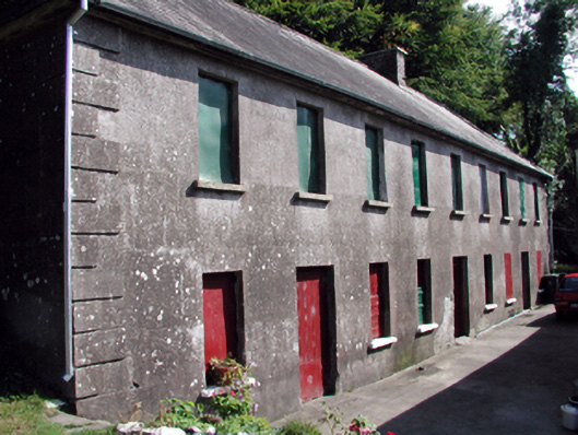 The Half-Way Houseunknown · 3.3 mi
 Glenshelane Red WalkWalking route · 3.9 mi
 WaterfallViewpoint · 4.3 mi
 Castle Coonagh (in ruins)Castle, tower house · 4.3 mi
Other information
Photo: Credit not shown in the picture search · Rights wording not checked; contact us if this picture should be removed