What is recorded here
Situated on a SW-facing slope of Mweeling Hill, with the col between Broemountain and Mweeling Hill c. 200m to the NW. A grass-covered circular platform (diam. c. 12m; H 0.2m) with some stones on the perimeter abuts a field bank. A standing stone (WA013-020002-) lies c. 30m to the W.
Compiled by: Michael Moore
Date of upload/revision: 12 November 2010
The monument record does not grant public access. Check the route and ask the landowner before entering private land.
- What survives
- Recorded monument
Places near here
 BroemountainMountain / peak · 1380 yd
 KnocknasheegaMountain / peak · 1.0 mi
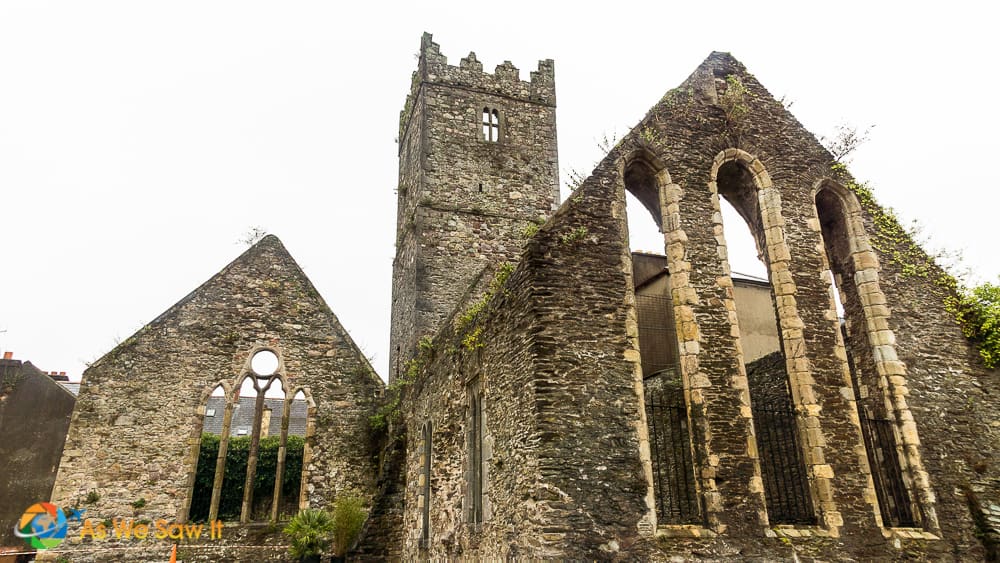 Enclosure in Broemountain (decies Without Drum By., Lickoran Par.)Enclosure · 1.2 mi
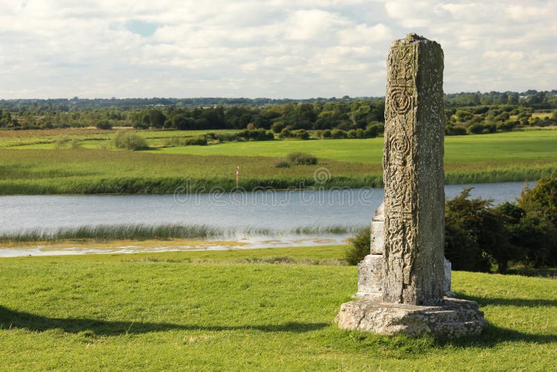 Stone CrossCross, High cross · 1.9 mi
 St. Orans Church (in ruins)Church · 2.3 mi
 Caherbrack Housefarm house · 2.4 mi
 Glenshelane WoodsForest · 2.7 mi
 Curraghcloney CastleCastle · 3.1 mi
 Glenshelane Red WalkWalking route · 3.4 mi
 WaterfallViewpoint · 4.0 mi
 Coillte infoboardVisitor information · 4.5 mi
Other information
Photo: Credit not shown in the picture search · Rights wording not checked; contact us if this picture should be removed