
What is recorded here
Marked 'St. Oran's Church (in ruins)' on the 1840 ed. of the OS 6-inch map, and situated on the S-facing slope of a W-E valley, just E of the NW-SE Farrane stream at the point where it turns E. The overgrown foundations of a rectangular structure (dims. 19.5m NW-SE; 8.5m NE-SW), traditionally associated with a children's burial ground, survive but no enclosure or grave-markers are visible. There is a record of a bullaun stone or stoup that can no longer be found, and a holy well had been obliterated by a change in the course of the stream while a roadway that approached the site had long been removed by the landowner (Power 1986b, 77-8).
Power, Rev. P. (1896b) The ancient ruined churches of Waterford. WAJ. 2, 2-15, 195-298.
The above description is derived from the published 'Archaeological Inventory of County Waterford' (Dublin: Stationery Office, 1999). In certain instances the entries have been revised and updated in the light of recent research.
Date of upload/revision: 23 March, 2011. Compiled by: Michael Moore
The monument record does not grant public access. Check the route and ask the landowner before entering private land.
- What survives
- Recorded monument
Places near here
 Site of Grave YardGraveyard · 27 yd
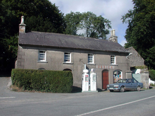 O'Brienhouse · 1121 yd
 outbuildingoutbuilding · 1142 yd
 Enclosure in Mountaincastle SouthEnclosure · 1193 yd
 Glenshelane WoodsForest · 3.2 mi
 Black HillMountain / peak · 3.2 mi
 Glenshelane Red WalkWalking route · 3.3 mi
 Crow HillMountain / peak · 3.6 mi
 Coillte infoboardVisitor information · 3.7 mi
 WaterfallViewpoint · 4.2 mi
 Sweet ChestnutSweet Chestnut · 4.5 mi
Other information
Photo: Credit not shown in the picture search · Rights wording not checked; contact us if this picture should be removed