
What is recorded here
Situated on a steep E/SE-facing slope. An unmarked spring, in an area with several other small springs.
The above description is derived from the published 'Archaeological Inventory of County Wicklow' (Dublin: Stationery Office, 1997). In certain instances the entries have been revised and updated in the light of recent research.
Date of upload/revision: 17 December 2008
Linked to St. Kevin, a 6th-century Irish monk and founder of Glendalough, the well is traditionally associated with healing and protection. Local folklore suggests that the waters were believed to cure eye ailments and that visitors would recite prayers while drawing water.
The monument record does not grant public access. Check the route and ask the landowner before entering private land.
- What survives
- Recorded monument
Places near here
 St. Bridgets WellHoly well · 71 yd
 Ecclesiastical enclosure in Kilbride (talbotstown Lower By.)Ecclesiastical enclosure · 80 yd
 Church in Kilbride (talbotstown Lower By.)Church · 657 yd
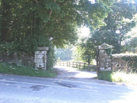 The Manorhouse · 740 yd
 Rock WoodForest · 1062 yd
 CastleCastle, tower house · 1.5 mi
 Site of CastleCastle, unclassified · 1.7 mi
 OldcourtMemorial · 1.8 mi
 Cupidstown HillMountain / peak · 2.0 mi
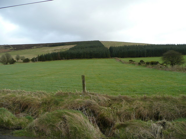 Butter MountainMountain / peak · 2.5 mi
 The Square RenewalMemorial · 3.2 mi
 Blessington DemesneWood · 3.3 mi
Other information
Photo: Credit not shown in the picture search · Rights wording not checked; contact us if this picture should be removed