
What is recorded here
Situated on the NE edge of a low ridge overlooking the Brittas river (to the E). This graveyard (WI001-022003-) is possibly the site of an Anglo-Norman parish church (WI001-022002-; Price 1953, 274). There is no visible trace of this church at ground level.
The above description is derived from the published 'Archaeological Inventory of County Wicklow' (Dublin: Stationery Office, 1997), no. 837. In this instance the entrry has been revised and updated in the light of recent research.
Compiled by: Paul Walsh
Date of upload: 19 November 2012
This remains an important historical record, but the official description says the monument is no longer visible or has been destroyed. The monument record does not grant public access. Check the route and ask the landowner before entering private land.
- What survives
- No visible remains or recorded as destroyed
Places near here
 Font (present location) in Kilbride (talbotstown Lower By.)Font (present location) · 220 yd
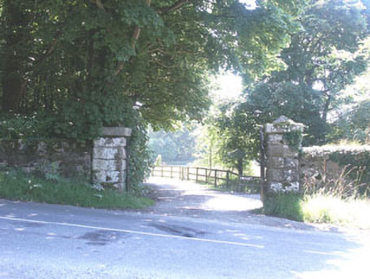 The Manorhouse · 275 yd
 Ecclesiastical enclosure in Kilbride (talbotstown Lower By.)Ecclesiastical enclosure · 578 yd
 Rock WoodForest · 825 yd
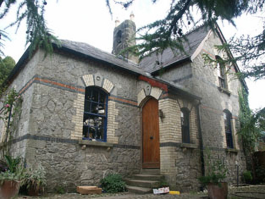 Tinode Houseworker's house · 1.3 mi
 CastleCastle, tower house · 1.5 mi
 OldcourtMemorial · 1.6 mi
 Site of CastleCastle, unclassified · 1.6 mi
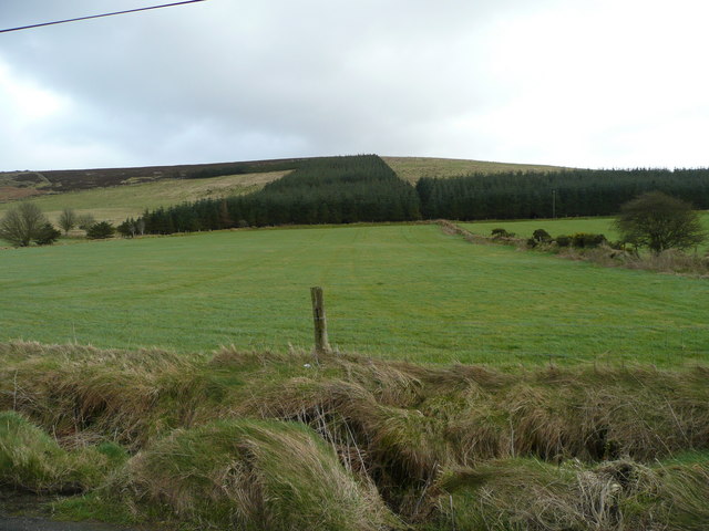 Butter MountainMountain / peak · 2.3 mi
 Cupidstown HillMountain / peak · 2.3 mi
 The Square RenewalMemorial · 3.4 mi
 Blessington DemesneWood · 3.6 mi
Other information
Photo: Credit not shown in the picture search · Rights wording not checked; contact us if this picture should be removed