
What is recorded here
Visible as a curved field boundary on an aerial photograph (GSI 0 88/89 (1973)) c. 20m E of St. Kevin's Well (WI001-020----).
Compiled by: Matt Kelleher
Date of upload: 29 November 2012
The monument record does not grant public access. Check the route and ask the landowner before entering private land.
- What survives
- Recorded monument
Places near here
 St. Kevins WellHoly well · 80 yd
 St. Bridgets WellHoly well · 91 yd
 Church in Kilbride (talbotstown Lower By.)Church · 578 yd
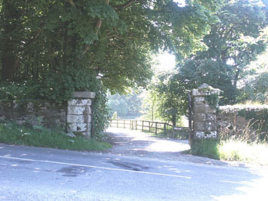 The Manorhouse · 673 yd
 Rock WoodForest · 1026 yd
 CastleCastle, tower house · 1.5 mi
 Site of CastleCastle, unclassified · 1.7 mi
 OldcourtMemorial · 1.7 mi
 Cupidstown HillMountain / peak · 2.0 mi
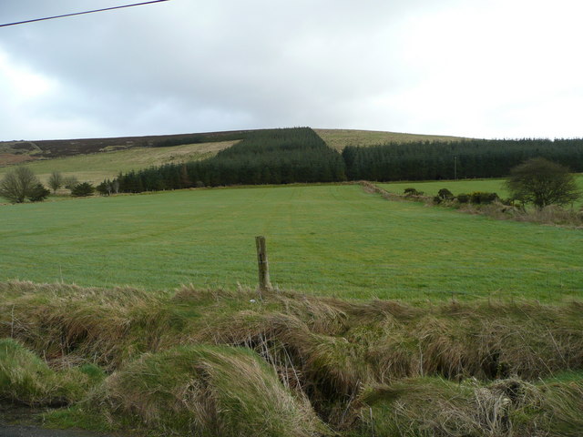 Butter MountainMountain / peak · 2.5 mi
 The Square RenewalMemorial · 3.3 mi
 Blessington DemesneWood · 3.4 mi
Other information
Photo: Credit not shown in the picture search · Rights wording not checked; contact us if this picture should be removed