What is recorded here
Located in a small NW-SE valley. According to John O’Donovan writing c. 1840 the pattern had been held on the 24th June at St. John’s Well but it had been abolished (O’Flanagan 1933, vol. 2, 92). This is a spring (dims. 1.6m N-S; 0.75m) with a rectangular masonry canopy of brick and stone (T 0.5m) that is open on the W side. There is no evidence of veneration. The church (WX027-012001-) is c. 200m to the WNW, and the mound (WX027-014----) is c. 30m to the SW.
Located in a small NW-SE valley. According to John O’Donovan writing c. 1840 the pattern had been held on the 24th June at St. John’s Well but it had been abolished (O’Flanagan 1933, vol. 2, 92). This is a spring (dims. 1.6m N-S; 0.75m) with a rectangular masonry canopy of brick and stone (T 0.5m) that is open on the W side. There is no evidence of veneration. The church (WX027-012001-) is c. 200m to the WNW, and…
From the National Monuments Service (Archaeological Survey of Ireland) record WX027-013
The monument record does not grant public access. Check the route and ask the landowner before entering private land.
- What survives
- Recorded monument
Places near here
Photo credits
- National Inventory of Architectural Heritage
- Andrewmc, Wikimedia Commons · CC BY-SA 3.0
- sarah777, Wikimedia Commons · CC BY-SA 2.0
- Hywel Williams, Wikimedia Commons · CC BY-SA 2.0
- 瑞丽江的河水, Wikimedia Commons · CC BY-SA 4.0
- Bruce Marlin, Wikimedia Commons · CC BY-SA 2.5
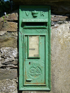 post box99 yd
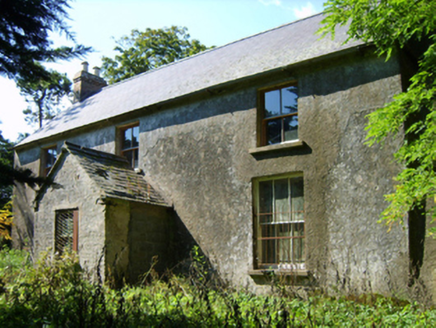 farm house133 yd
.jpg/250px-1798_Monument_(1).jpg "Photo: Andrewmc, Wikimedia Commons · CC BY-SA 3.0") 1798 MonumentMemorial · 254 ydIndicatedEnclosure · 880 ydBallingowan MoteCastle, motte · 1.9 mi
1798 MonumentMemorial · 254 ydIndicatedEnclosure · 880 ydBallingowan MoteCastle, motte · 1.9 mi 1798 MemorialMonument · 2.2 mi
 Tulach a' tSolaisMonument · 2.6 miBattle of Oulart Hill signVisitor information · 2.7 mi71Mountain / peak · 3.0 mi
 Embanked enclosureCastle, motte · 3.8 mi
 Fontainebleau service tree4.3 miFontainebleau service tree4.3 mi
More archaeology and monuments in County Wexford · All of County Wexford
What do you know about this place?