What is recorded here
Marked as a mound and described as Ballingowan Mote on the 1839 and 1924 eds of the OS 6-inch map. It is situated on the tip of a low E-W spur with a small NE-SW stream c. 70m to the NW. It is c. 470m from the stream’s confluence with the N-S Aughanall River. This may have been the caput of the Ballyvaldon fief of the Roches, held with Doonooney in Bantry by half a knights fee (Colfer 2002, 106). This is a flat topped and scrub-covered earthen mound (dims. of top 5m E-W; 3m N-S; diam. of base 23m E-W; H 4m) defined by a silted fosse (Wth 8m; D 0.3m).
Marked as a mound and described as Ballingowan Mote on the 1839 and 1924 eds of the OS 6-inch map. It is situated on the tip of a low E-W spur with a small NE-SW stream c. 70m to the NW. It is c. 470m from the stream’s confluence with the N-S Aughanall River. This may have been the caput of the Ballyvaldon fief of the Roches, held with Doonooney in Bantry by half a knights fee (Colfer 2002, 106). This is a flat…
From the National Monuments Service (Archaeological Survey of Ireland) record WX027-017
The monument record does not grant public access. Check the route and ask the landowner before entering private land.
- What survives
- Recorded monument
Places near here
Photo credits
- National Inventory of Architectural Heritage
- Andrewmc, Wikimedia Commons · CC BY-SA 3.0
- sarah777, Wikimedia Commons · CC BY-SA 2.0
- Hywel Williams, Wikimedia Commons · CC BY-SA 2.0
- Bruce Marlin, Wikimedia Commons · CC BY-SA 2.5
- Michael Dibb, Geograph · CC BY-SA 2.0
- 瑞丽江的河水, Wikimedia Commons · CC BY-SA 4.0
Enclosure in BallingowanEnclosure · 562 yd Saint Anthony'sFarm house · 1.5 miIsland HouseCountry house · 1.5 mi1798 MonumentMemorial · 2.0 mi1798 MemorialMonument · 2.5 miTinnaberna BeachBeach / strand · 3.1 miHachured moundCastle, motte · 3.1 miTulach a' tSolaisMonument · 3.2 miFontainebleau service tree3.4 miFontainebleau service tree3.4 miMorriscastle BeachBeach / strand · 5.0 miEmbanked enclosureCastle, motte · 5.1 mi
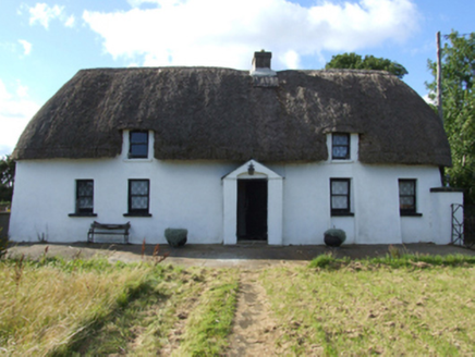 Saint Anthony'sFarm house · 1.5 mi
 Island HouseCountry house · 1.5 mi
.jpg/250px-1798_Monument_(1).jpg "Photo: Andrewmc, Wikimedia Commons · CC BY-SA 3.0") 1798 MonumentMemorial · 2.0 mi
1798 MonumentMemorial · 2.0 mi 1798 MemorialMonument · 2.5 miTinnaberna BeachBeach / strand · 3.1 miHachured moundCastle, motte · 3.1 mi
 Tulach a' tSolaisMonument · 3.2 mi
 Fontainebleau service tree3.4 miFontainebleau service tree3.4 mi
 Morriscastle BeachBeach / strand · 5.0 mi
 Embanked enclosureCastle, motte · 5.1 mi
More castles and forts in County Wexford · All of County Wexford
What do you know about this place?